Regional Geography of Canada: Economic and Environmental Analysis
VerifiedAdded on 2023/01/10
|10
|2446
|100
Report
AI Summary
This report provides a comprehensive analysis of the regional geography of Canada, examining the economic, environmental, and cultural consequences across various regions. The report begins by exploring the Nunavut Settlement Area, discussing the economic potential of oil and gas exploration, and the environmental and cultural impacts of resource extraction in this frontier region. It then investigates the economic dependence of Atlantic Canada on megaprojects, analyzing the impact on infrastructure, employment, and trade. The report also differentiates the economies of Western Canada and British Columbia, focusing on the service-oriented versus resource-based economies and the reliance on agriculture and forestry. Finally, the report discusses the future prospects of British Columbia as a periphery region, considering factors such as technological advancements, resource discoveries, infrastructure development, and labor force trends. The report includes references to scholarly articles and external resources to support its findings.
Running Head: REGIONAL GEOGRAPHY OF CANADA 1
Regional Geography of Canada
Student’s Name
Institution affiliation:
Regional Geography of Canada
Student’s Name
Institution affiliation:
Paraphrase This Document
Need a fresh take? Get an instant paraphrase of this document with our AI Paraphraser
REGIONAL GEOGRAPHY OF CANADA 2
QUESTION ONE
Frontiers are mostly extreme parts of a country that faces unsettled regions thus forming
the border of the settled and cultivated part of the country. The Nunavut Settlement Area (NSA)
covers up to 8100002 miles amounting to twice the overall size of Europe. The area is
(Cullingworth, 2017) experiences drastic colds, extended darkness seasons, storm-causing
hurricanes, blurred visibility that contribute to inaccessibility and poor thriving conditions.
Temperatures and wind chills get to as low as -300c- -550c during winter and -700c respectively.
However, Studies by the U.S Geological Survey (USGS) in 2009 showed the Arctic
regions acted as sites for crude oil and gas discoveries. These explorations come with
consequences on the environment, economy, and cultures of the inhabitants and the country at
large. This was proportional to almost five years of consumption of oil considering the reserves
for gas and the oil in the Canadian's vast territory. By 2012, the explorations showed that most of
the oil was found in the Sverdrup basin, the high Nunavut archipelago. Up to 19 fields of the
basin had been discovered historically but still held as "significant discovery licenses" by
different companies. Reports from Canada's Financial Post recorded a range of 500-1800 million
oil barrels and 17million to 27trillion gas feet (Bone, 2018).
The crude oil found in this basin attributed to 11% of the total amount of oil barrels and
20% of the natural gas in Canada. New drilling techniques, global change of climate and market
demand are some of the factors likely to spur up further exploration attempts by experts.
Currently, new designs are being utilized in this region such as coiled tubing, “grind and
inject”, ice-based roads and drilling pads together with horizontal and directional drilling. Aside
from these, ice-thickened airstrips, designs for breaking the ice, supply bodies, and dry-docks
REGIONAL GEOGRAPHY OF CANADA 3
have also been implemented. As a result, the Royal Dutch Shell received competitions from the
U.S forcing them to drill off the shore within the 2012 summer season. This was the sea of
Chukchi and Beaufort, Alaska’s offshore South West of the frontier at the Arctic Ocean’s edge
The drilling process posed consequences to the economy, environment and the culture of
the country and inhabitants (Victor, 2017). The process through huge excavations led to the loss
of natural beauty of the land. The use of heavy machinery during extractions led to a significant
increase in carbon emissions resulting in global warming. Increase in temperature was
accompanied by the melting of ice and snow within the sea, Arctic. The National Snow and Ice
Data Center (NSIDC) reported a low extent of ice cover that broke the previous records as per
satellite analysis. The amount of ice in the sea had also fallen to 4.10 million km2 in 2012 and
further to 70,000km2 in 2017 records. This fall was taken as a benefit for economical
transportation of oil through the Arctic shipping services. However, oil spillages in the oceans
posed a huge threat to the ocean's biodiversity like fish.
Aside from environmental effects, viewing the Nunavut territory as the last Canadians
frontier, led to stabilization of the economy through the oil and natural gas mining. The vast
market demands for the product gave Canada a platform for earning income from exports of oil.
More employment opportunities improved the lifestyle of inhabitants making them change their
cultures. The homeland and frontier views of this region are not compatible with each other. The
frontier remains to be sites for massive oil and extractions whereas the homeland sees the
frontier as the country’s strip where most Canadians work and make a living.
⊘ This is a preview!⊘
Do you want full access?
Subscribe today to unlock all pages.

Trusted by 1+ million students worldwide
REGIONAL GEOGRAPHY OF CANADA 4
QUESTION TWO
Atlantic Canada should depend on megaprojects to a large extent. It is clear that oil
revenues have led to stabilization of these provinces. Inhabitants are subject good infrastructure,
good employment opportunities and room for investment and trade (Kröller, 2017). This success
has been brought by the massive revenues from oil sales to the neighboring provinces.
The mega projects have created new business ideas aside attracting foreign investors to
the region. Trade has been fostered by the development of a stable communication system, Tele
Greenland which serves to link the provinces to North America industries. As a result, the
market for various commodities is assured thus efficient trading platform. Moreover, Atlantic
Canada despite having extensive resources has high-class academic and research facilities. From
these, more technological advancement is assured.
Provinces like Newfoundland and Labrador have been considered attractive places where
young individuals and professional experts can invest in thus contributing to the overall success
of Atlantic Canada (Foster, 2017). The stability makes it possible for the government to improve
the healthcare of its people, infrastructure, and education. Good healthcare serves to reduce
mortality rates that impact on the population distributions in the provinces. Also, the vibrant
economy has led to helpful programs like the Canada Child Plan and Canada Pension Plan where
the Atlantic Growth Strategy was launched to decree commitments to the programs. From all
these, it is clear that more dependence on mega projects will guarantee a bigger economic
growth.
Paraphrase This Document
Need a fresh take? Get an instant paraphrase of this document with our AI Paraphraser
REGIONAL GEOGRAPHY OF CANADA 5
Apart from megaprojects, Atlantic Canada has other avenues that are potential economy
boosters. The tourism sector contributes to about 1.5billion annually to the country’s economy.
The presence of good infrastructure, good climate, and beautiful scenery attract both internal and
foreign tourists thus, in turn, provides revenue that foster economic growth (Chen & Guan,
2016). Atlantic Canada also takes into account the reclamation of wetlands as a way to intensify
and expand agriculture. It involves reclaiming the estuaries to use in crop production.
Agriculture ensures sustainable food requirements for the people in the provinces and exported
commodities help to improve the economy. The Atlantic shore facilitates culturing of wild
oysters that provide habitat for diverse water species thus stabilizing erosions in the ocean.
Despite this, oysters have more advantages to the economy than to the environment thus
stabilizing the country’s economy.
QUESTION THREE
There exist different factors that differentiate between the economy of western Canada from
that of British Columbia. The differences include:
i. In western Canada, economy exists only a single unit where all operations related to the unit
are undertaken while in British Columbia, the economy is divided into two major sections
namely; the service-oriented urban economy of metropolitan Vancouver and the Resource-
based Hinterland economy of the remainder of the province (ROP) which is found in the
interior part of British Columbia (Ekers, 2019).
REGIONAL GEOGRAPHY OF CANADA 6
ii. While in British Columbia, the two economies (Service oriented and resource-based
hinterland) employment was heavily dependent on construction, manufacturing and retail
trade, employment in western Canada, relied highly on the agricultural, non-agricultural and
primary industries.
Reliance of western Canada on agriculture bears little similarities with the reliance of
forestry industries in British Columbia. The reliance of agriculture in western Canada served to
boost the economy by;
i. Production and export of agricultural commodities were considered a vital part of western
Canada's economy hence were ranked the largest producer of agricultural products.
ii. Agricultural farms created many employment opportunities through the provision of
labor needed to carry out various operations but with the mechanization and many
technological changes, the hiring of persons was likely to face a major reduction.
On the other side, the roles of the forest industry in British Columbia included:
i. Forest industry formed an important section of British Columbia as it acted as an
economic backbone of local communities in the region.
ii. The industry acted as a source of employment. The firms contributed to almost a quarter
of the jobs in direct manufacturing where certain operations that needed man-power than
machinery.
iii. It is estimated that over 8,000 enterprises had arisen from the forest industry most being
the small scale business that hired less than 15 employees (Bulmer, Schmidt, Heung,
Scarpone, Zhang, Filatow & Smith, 2016).
⊘ This is a preview!⊘
Do you want full access?
Subscribe today to unlock all pages.

Trusted by 1+ million students worldwide
REGIONAL GEOGRAPHY OF CANADA 7
Based on the context, it is clear that the extent of agriculture reliance in western Canada
and forest industry in the British Columbia was relatively low looking into the role of each of the
practices.
QUESTION FOUR
The future of British Columbia is unpredicted when viewed from the current innovations
that are being undertaken to ensure that the country is economically stable. However, as
compared to western Canada, this state experiences non-employment crisis and poor economic
environment (Flanagan, 2016). The state experiences droughts during summer and efforts to
support renewable energy sources will cause more effects on the amount of water in the rivers.
The region also experiences west coast conflicts between different communities that contribute
to the unstable economy.
Recently, the state had issues with moving their financial capital to private land covered
by forests on its coast. This was foreseen with the implementation of privately managed forest
land act (PMFLA) that lowered the regulations on forestry regarding private land of the
province. As a result, both Timber west and Timberland Island operate under the parameters of
the legislation making them face rejections from indigenous groups and inhabitants of the BC.
This came with deregulation of the active operations on private lands with forests. This are some
of the major challenges that will need to be looked into to improve the country. In the past years,
wildfires have been experienced in the major forest ecosystem leading to losses that greatly
impacted on the main backbone of economic growth, forest industry.
It is clear that for British Columbia to attain a stable economy, it has to go through
different changes initiated by their government. In 25 years to come British Columbia is
Paraphrase This Document
Need a fresh take? Get an instant paraphrase of this document with our AI Paraphraser
REGIONAL GEOGRAPHY OF CANADA 8
therefore likely to be a periphery region (Feldman, Anderson, Howerter & Murray, 2015).
Different factors contribute to the future development of the region as a periphery region. These
include:
i. Technology advancements that will have occurred by this period of time and which will
be brought about numerous changes in the various section of the economy. an example is
mechanization replacing human workforce
ii. The discovery of more natural resources like minerals serves to boost economic growth
as this causes notable shifts or increase in the country's Production Possibility Curve.
iii. Infrastructure
The region has experienced tremendous changes and improvements especially in the
infrastructure part where there is good transport network that has facilitated safe ferrying
of goods to where they are needed, and reliable exportation of commodities (Clermont,
Dale, Reed & King, 2019).
iv. High labor force
Due to increased population growth rate there tend to be more labor force that is readily
available in exchange of wages hence reducing poverty levels.
REGIONAL GEOGRAPHY OF CANADA 9
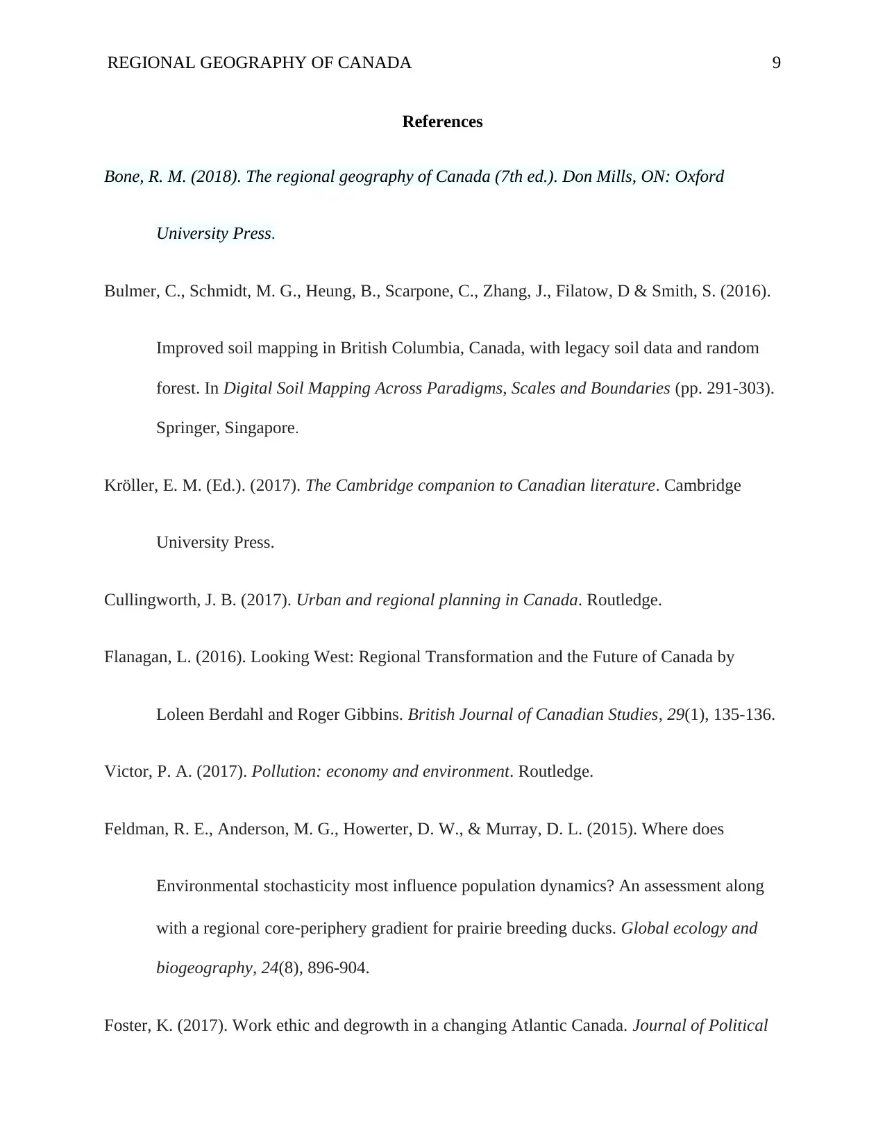
References
Bone, R. M. (2018). The regional geography of Canada (7th ed.). Don Mills, ON: Oxford
University Press.
Bulmer, C., Schmidt, M. G., Heung, B., Scarpone, C., Zhang, J., Filatow, D & Smith, S. (2016).
Improved soil mapping in British Columbia, Canada, with legacy soil data and random
forest. In Digital Soil Mapping Across Paradigms, Scales and Boundaries (pp. 291-303).
Springer, Singapore.
Kröller, E. M. (Ed.). (2017). The Cambridge companion to Canadian literature. Cambridge
University Press.
Cullingworth, J. B. (2017). Urban and regional planning in Canada. Routledge.
Flanagan, L. (2016). Looking West: Regional Transformation and the Future of Canada by
Loleen Berdahl and Roger Gibbins. British Journal of Canadian Studies, 29(1), 135-136.
Victor, P. A. (2017). Pollution: economy and environment. Routledge.
Feldman, R. E., Anderson, M. G., Howerter, D. W., & Murray, D. L. (2015). Where does
Environmental stochasticity most influence population dynamics? An assessment along
with a regional core‐periphery gradient for prairie breeding ducks. Global ecology and
biogeography, 24(8), 896-904.
Foster, K. (2017). Work ethic and degrowth in a changing Atlantic Canada. Journal of Political
⊘ This is a preview!⊘
Do you want full access?
Subscribe today to unlock all pages.

Trusted by 1+ million students worldwide
REGIONAL GEOGRAPHY OF CANADA
10
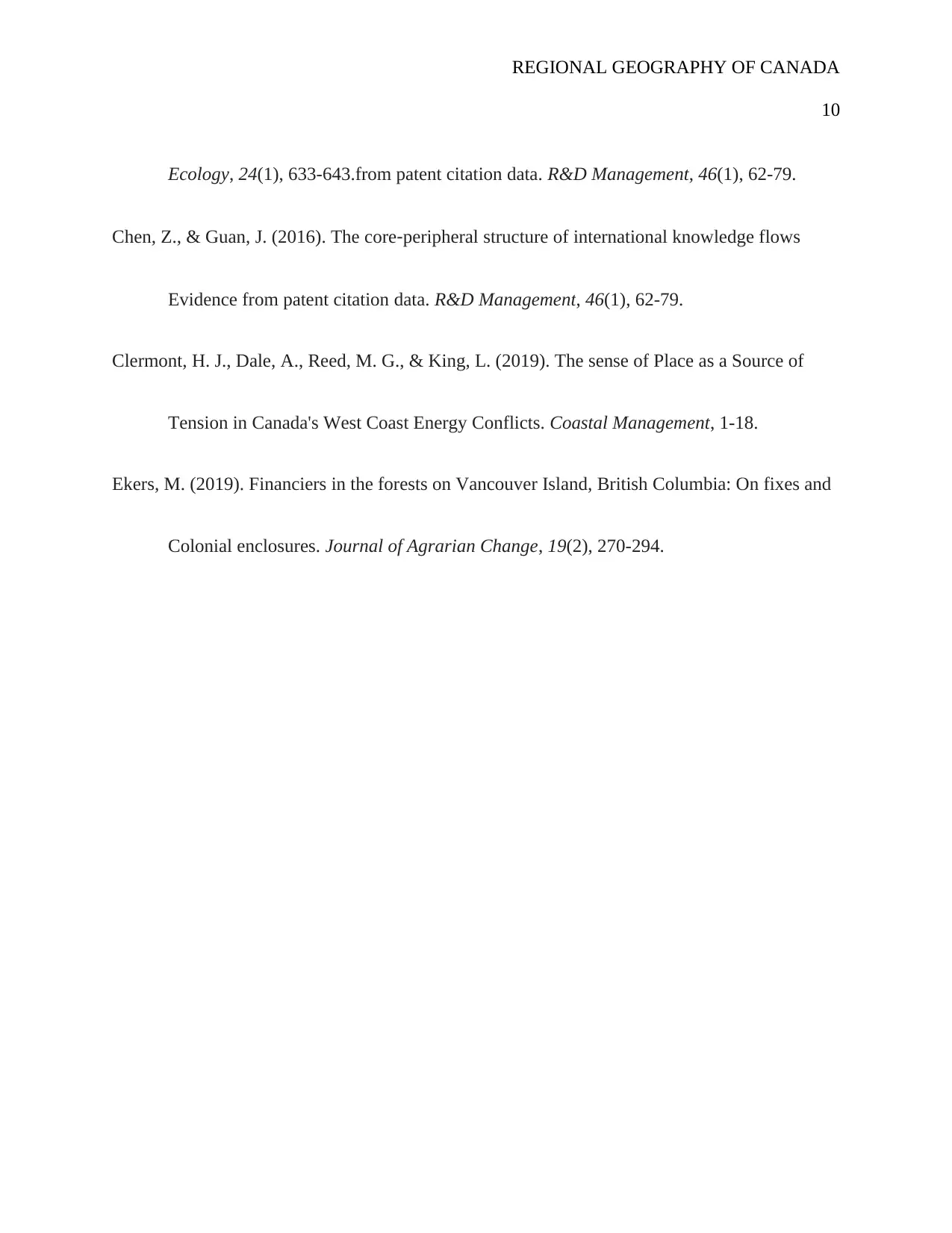
Ecology, 24(1), 633-643.from patent citation data. R&D Management, 46(1), 62-79.
Chen, Z., & Guan, J. (2016). The core‐peripheral structure of international knowledge flows
Evidence from patent citation data. R&D Management, 46(1), 62-79.
Clermont, H. J., Dale, A., Reed, M. G., & King, L. (2019). The sense of Place as a Source of
Tension in Canada's West Coast Energy Conflicts. Coastal Management, 1-18.
Ekers, M. (2019). Financiers in the forests on Vancouver Island, British Columbia: On fixes and
Colonial enclosures. Journal of Agrarian Change, 19(2), 270-294.
1 out of 10
Your All-in-One AI-Powered Toolkit for Academic Success.
+13062052269
info@desklib.com
Available 24*7 on WhatsApp / Email
![[object Object]](/_next/static/media/star-bottom.7253800d.svg)
Unlock your academic potential
Copyright © 2020–2026 A2Z Services. All Rights Reserved. Developed and managed by ZUCOL.

