logo

Surveying Process - Elements, Equipment, Steps and Engineering Use

Produce an electronic poster outlining information on surveying, focusing on practical applications, limitations, accuracy, precision, and the relationship between engineering design and survey measurement. Work in a team to assemble and present information on surveying methodologies and their application within an engineering context.

1 Pages619 Words181 Views
   

Added on  2022-11-23

About This Document

This presentation covers the elements, equipment, steps and engineering use of surveying. Surveyors make use of elements of regression analysis, engineering, physics, trigonometry, geometry, metrology, programming languages, and equipment like total stations, theodolites, robotic total stations, retro reflectors, clinometer, 3D scanner, radios, digital levels, drones, GIS, handheld tablets, surveying software, subsurface locations, and GNSS receivers. The steps in conducting surveying include establishing the need for a survey, reaching out to numerous surveying firms to get the estimates of the costs, making comparison from the contacted surveyors, choosing a surveyor, and giving the surveyor a chance to conduct the survey. Surveying is a basic requirement for each civil engineering project.

Surveying Process - Elements, Equipment, Steps and Engineering Use

Produce an electronic poster outlining information on surveying, focusing on practical applications, limitations, accuracy, precision, and the relationship between engineering design and survey measurement. Work in a team to assemble and present information on surveying methodologies and their application within an engineering context.

   Added on 2022-11-23

ShareRelated Documents
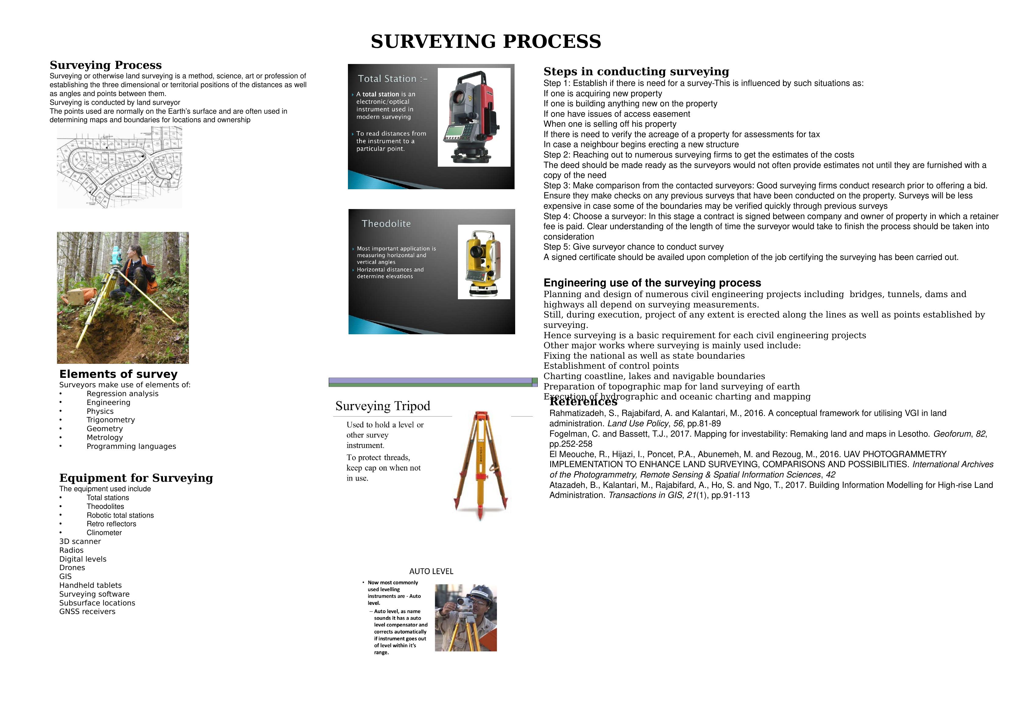
Surveying Process
Surveying or otherwise land surveying is a method, science, art or profession of
establishing the three dimensional or territorial positions of the distances as well
as angles and points between them.
Surveying is conducted by land surveyor
The points used are normally on the Earth’s surface and are often used in
determining maps and boundaries for locations and ownership
Elements of survey
Surveyors make use of elements of:
Regression analysis
Engineering
Physics
Trigonometry
Geometry
Metrology
Programming languages
Equipment for Surveying
The equipment used include
Total stations
Theodolites
Robotic total stations
Retro reflectors
Clinometer
3D scanner
Radios
Digital levels
Drones
GIS
Handheld tablets
Surveying software
Subsurface locations
GNSS receivers
Steps in conducting surveying
Step 1: Establish if there is need for a survey-This is influenced by such situations as:
If one is acquiring new property
If one is building anything new on the property
If one have issues of access easement
When one is selling off his property
If there is need to verify the acreage of a property for assessments for tax
In case a neighbour begins erecting a new structure
Step 2: Reaching out to numerous surveying firms to get the estimates of the costs
The deed should be made ready as the surveyors would not often provide estimates not until they are furnished with a
copy of the need
Step 3: Make comparison from the contacted surveyors: Good surveying firms conduct research prior to offering a bid.
Ensure they make checks on any previous surveys that have been conducted on the property. Surveys will be less
expensive in case some of the boundaries may be verified quickly through previous surveys
Step 4: Choose a surveyor: In this stage a contract is signed between company and owner of property in which a retainer
fee is paid. Clear understanding of the length of time the surveyor would take to finish the process should be taken into
consideration
Step 5: Give surveyor chance to conduct survey
A signed certificate should be availed upon completion of the job certifying the surveying has been carried out.
Engineering use of the surveying process
Planning and design of numerous civil engineering projects including bridges, tunnels, dams and
highways all depend on surveying measurements.
Still, during execution, project of any extent is erected along the lines as well as points established by
surveying.
Hence surveying is a basic requirement for each civil engineering projects
Other major works where surveying is mainly used include:
Fixing the national as well as state boundaries
Establishment of control points
Charting coastline, lakes and navigable boundaries
Preparation of topographic map for land surveying of earth
Execution of hydrographic and oceanic charting and mapping
SURVEYING PROCESS
References
Rahmatizadeh, S., Rajabifard, A. and Kalantari, M., 2016. A conceptual framework for utilising VGI in land
administration. Land Use Policy, 56, pp.81-89
Fogelman, C. and Bassett, T.J., 2017. Mapping for investability: Remaking land and maps in Lesotho. Geoforum, 82,
pp.252-258
El Meouche, R., Hijazi, I., Poncet, P.A., Abunemeh, M. and Rezoug, M., 2016. UAV PHOTOGRAMMETRY
IMPLEMENTATION TO ENHANCE LAND SURVEYING, COMPARISONS AND POSSIBILITIES. International Archives
of the Photogrammetry, Remote Sensing & Spatial Information Sciences, 42
Atazadeh, B., Kalantari, M., Rajabifard, A., Ho, S. and Ngo, T., 2017. Building Information Modelling for High rise Land
Administration. Transactions in GIS, 21(1), pp.91-113
Surveying Process - Elements, Equipment, Steps and Engineering Use_1

End of preview

Want to access all the pages? Upload your documents or become a member.

Related Documents
Survey and Civil Engineering - Doc
|8
|1322
|363