Bowral Topography Report: Stratification & Aquifer Impact Analysis
VerifiedAdded on 2023/06/15
|9
|1619
|441
Report
AI Summary
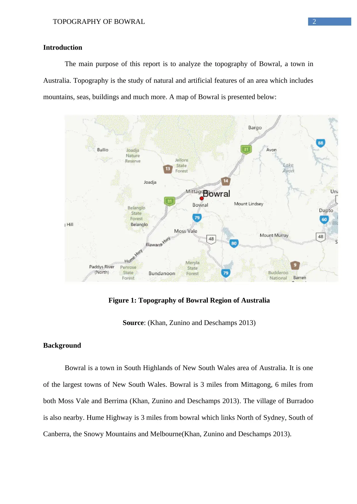
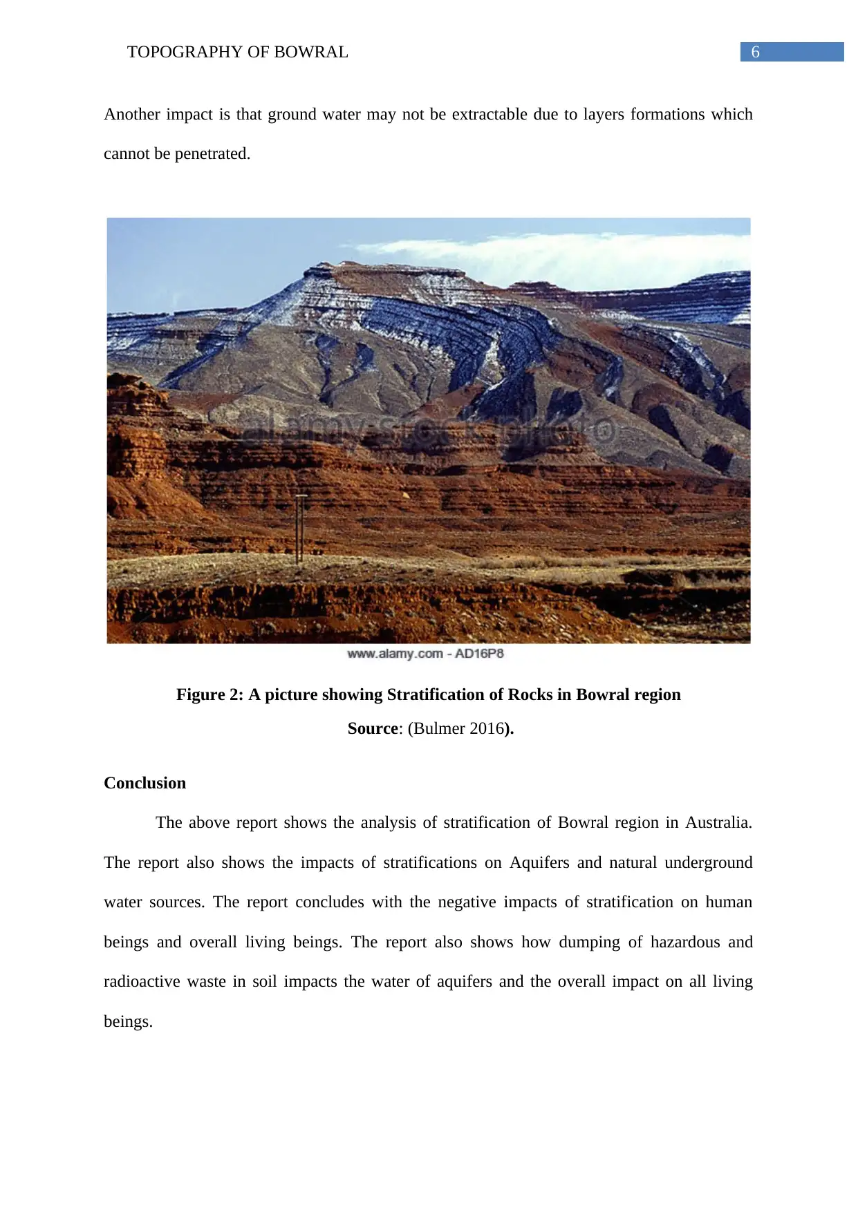
This report provides an analysis of the topography of Bowral, Australia, focusing on its geological layers and the impact of stratification on underground water sources. It begins with an introduction to Bowral's location and background, followed by a literary review of relevant studies on topography, underground water, and stratification in Australia. The report then delves into the geological layers found in the Bowral area, including the Finniss River Group, Katherine River Group (with its Phillips Creek Member, Edith River Volcanic, and Mcaddens Volcanic Creek Member), and the Kambolgie Formation, detailing their composition and formation processes. Furthermore, the report discusses the concept of stratification, its impact on aquifers, and the potential for contamination from radioactive wastes and other non-biodegradable substances. The report concludes by highlighting the negative impacts of stratification on human beings and overall living beings, emphasizing the importance of responsible waste disposal to protect groundwater quality. This assignment is available on Desklib, a platform offering a range of study tools and resources for students.
1 out of 9
Your All-in-One AI-Powered Toolkit for Academic Success.
+13062052269
info@desklib.com
Available 24*7 on WhatsApp / Email
![[object Object]](/_next/static/media/star-bottom.7253800d.svg)
Copyright © 2020–2025 A2Z Services. All Rights Reserved. Developed and managed by ZUCOL.