Augmented Reality and GIS: An Annotated Bibliography for ITC571, CSU.
VerifiedAdded on 2023/06/14
|7
|2695
|119
Annotated Bibliography
AI Summary
This annotated bibliography provides a compilation of research papers focusing on the integration of Augmented Reality (AR) and Geographic Information Systems (GIS). It covers various applications of AR in GIS, including the use of Microsoft HoloLens for 3D GIS, urban simulation visualization, mobile AR techniques for geovisualization, and geospatial hypermedia. The bibliography also addresses the challenges and future trends in AR and GIS, highlighting the benefits of AR over traditional GIS methods and the potential for enhanced user interaction and data visualization. Each entry includes a summary and analysis of the paper's objectives, methodology, findings, and limitations. Desklib offers a platform for students to access this and other solved assignments.
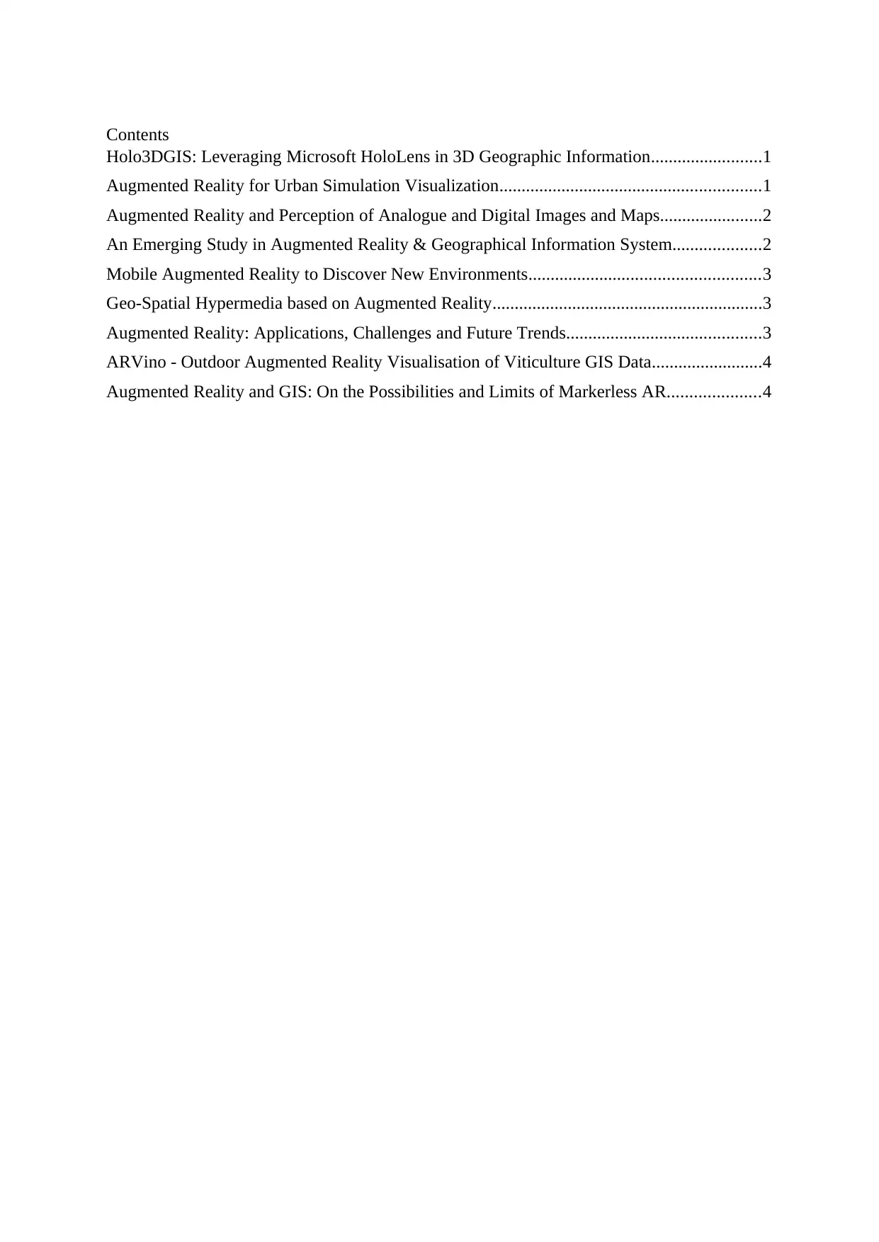
Contents
Holo3DGIS: Leveraging Microsoft HoloLens in 3D Geographic Information.........................1
Augmented Reality for Urban Simulation Visualization...........................................................1
Augmented Reality and Perception of Analogue and Digital Images and Maps.......................2
An Emerging Study in Augmented Reality & Geographical Information System....................2
Mobile Augmented Reality to Discover New Environments....................................................3
Geo-Spatial Hypermedia based on Augmented Reality.............................................................3
Augmented Reality: Applications, Challenges and Future Trends............................................3
ARVino - Outdoor Augmented Reality Visualisation of Viticulture GIS Data.........................4
Augmented Reality and GIS: On the Possibilities and Limits of Markerless AR.....................4
Paraphrase This Document
Need a fresh take? Get an instant paraphrase of this document with our AI Paraphraser
Keywords - AR, GIS, Microsoft HoloLens, 3D GIS, Holo3DGIS
[1] P. Ghadirian and I. Bishop, "Composition of Augmented Reality and GIS To Visualize
Environmental Changes", Joint AURISA and Institution of Surveyors Conference, vol. 2, no.
2, 2002.
In this article, authors Payam Ghadirian1and Ian D. Bishop presents early phases of a project
in which GIS, based on environment process modelling, with the Augmented Reality
technology. A project which can facilitate amenities of current system i.e. Geo-reference GIS,
3D modelling with the 3D immersion system can overcome various problems of current
system. The article intends to create more realistic simulations of the ever-evolving systems.
The article evaluates the current visualization systems and also introduces fundamentals of
existing proposed system. It also explains the proposed weed spread case along with key
observations in multi-channel video capture. The article is at a very beginning step in figuring
out the capabilities of combined system consisting of GPS, GIS and Augment Reality.
However, it is possible only by improving communication among public which will lead to
development of more public exposure and participation.
[2] F. Liarokapis, I. Greatbatch, J. Raper, D. Mountain, V. Brujic-Okretic, A. Gunesh and V.
Brujic-Okretic, Mobile Augmented Reality Techniques for GeoVisualisation. 2018.
In this article, authors - Fotis Liarokapis, Ian Greatbatch, David Mountain, Anil Gunesh,
Vesna Brujic-Okretic and Jonathan Raper – presents the very first prototype of an interactive
visualization system which is specifically designed for showing the geographical data of both
indoor and outdoor platforms. The objective of the article is to make a 3D scene around the
user of the mobile at a prescribed height and data using photogrammetry and GIS techniques.
The second objective is to show the modelled data into a mixed realtime environment which
has two different visualization interfaces: VR mobile and tangible AR interfaces. The authors
have proved their objectives by implementing an experimental educational application known
as 3D puzzle. They have chosen human interaction method as the basis their research and
finding results. The article limits on the number of types of interactions that can be made and
intends to figure them out in their future work.
[3] W. Wang, Z. Chen and G. Chen, Holo3DGIS: Leveraging Microsoft HoloLens in 3D
Geographic Information. 2018.
The paper aims to make use of Microsoft’s HoloLens for interacting and exploring GIS.
HoloLens is a next generation AR technology developed by Microsoft. The paper presents
and explores this technology and it’s significant because HoloLens is a more advanced
technology compared to traditional ARs and has excellent capabilities when it comes to AR.
These features include exception 3D display, gesture design, gaze design, spatial mapping
and spatial sound design (16). Thereby HoloLens has been used in many different areas of
research and development (20).
The paper intends to explore the development of a 3D GIS that would work on HoloLens and
as such intends to explore the creation of 3D assets, development of the application as well as
the compiler for deploying of this application. For each of these three components, the paper
describes multiple methods for accomplishing them. Then the Authors intend to test out their
creation with a basic map of a state.
The limitations of their study is that their test subject was extremely simple and basic and
hardly any indicator of a real-world scenario. Additionally, HoloLens is still in early pre-
production and the project may itself get discontinue if it doesn’t go well with the market that
Microsoft wants to target. However, Authors have had success with their research and
conclude that it can be used for GIS. Authors collected evidence empirical observation and
did collection by both qualitative and quantitative methods.
[4]V. Heuveline, S. Ritterbusch and S. Ronn, Augmented Reality for Urban Simulation
Visualization. 2016.
The paper presents multiple papers and different experimental projects that has been
undertaken within the topic of Augmented Reality, visualization and Geographical
Information Systems. The paper digs through those experiments and papers and present’s its
summaries and analysis. The paper does not intend to break new grounds however, it
highlights the fact that with the advent of smartphone and the raw processing capabilities that
come with it has led to enhancement of visualization of GIS data.
The paper intends to find out how mobile augmented reality technology can help the
visualization problem of GIS which is specifically divided into two areas. The first part is a
good user interface that allows for selection, manipulation and viewing of this dataset and the
second is the perceivable visualization of this dataset. The paper also further follows up with
the requirements essential for the development of pre-processing of GIS data, simulation of
the data, augmented visualization, then interacting with the data and the needed client-server
framework. The data collection method used in the paper is qualitative wherein the Authors
makes use of similar papers and research projects in order to formulate the basis of their own
study.
[5] Sabir, M.; Prakash, J. Virtual Reality: A Review. In Proceedings of the 2nd International
Conference on Advance Trends in Engineering and Technology, Jaipur, India, 17–19 April
2014.
⊘ This is a preview!⊘
Do you want full access?
Subscribe today to unlock all pages.

Trusted by 1+ million students worldwide
The paper talks about the AR technology and its fusion with GIS primarily in this paper. The
author intends to showcase how AR is beneficial compared to the traditional system
especially static methodology of making use of printed papers. Much of the content of the
paper is through Author’s own reflection and observation of using GIS in the field. The
significance of this paper is low as the paper does not break grounds or present any
information that was previously unkown. Essentially, the Author intends to find out whether
or not AR is beneficial when compared with traditional methods especially printed maps.
Author also provides evidence related to issues that commonly arises with the use of AR.
Much of the research materials used in the paper comes from Author’s own observation and
hence there are lot of empirical evidence at play here. Apart from that, Author cites a lots of
different studies that together make up for a qualitative data assessment. The limitation of the
study is that Author does not have enough convincing evidence as to support either side of
the narrative but does have an overall positive tone about the AR technology.
[6] J. Rodriguez and C. Huang, "An Emerging Study in Augmented Reality & Geographical
Information System", International Journal of Computer Theory and Engineering, vol. 9, no.
6, pp. 447-450, 2017.
This paper provides a high level overview of how to go about developing a mobile
application that would take the advantage of Mobile’s AR capabilities for the benefit of GIS.
The paper covers major ground when it comes to the high-level requirements and necesseties
needed to develop the AR application. It however does not go into much detail. The authors
does not propose anything new, rather describes a standardized and popular method of
developing the application for GIS with the help of AR. The Authors again do not intend to
find anything new here but their primary course is to walk through the process of application
development for GIS.
The limitation of the study primarily is that the study is extremely basic and covers only
aspect of AR GIS and that too with only a singular method. The study also does not break
any new grounds or provide any new convincing results or even carries out an actual
development in order to verify their claims. The method of data collection the Authors have
used here is primarily qualitative method and there are no analysis done here.
[7] N. GHOUAIEL, J. CIEUTAT and J. JESSEL, Open Archive TOULOUSE Archive
Ouverte (OATAO). 2013.
Paraphrase This Document
Need a fresh take? Get an instant paraphrase of this document with our AI Paraphraser
The paper presents a proper definition of augmented reality. Thereafter, the authors provide a
technique of making use of sensor based graphical user interface application that helps in
urban navigation as well as making use of image based technique that shows changes in the
environment through an elongated timeline. The paper essentially summarizes other studies
in order to showcase how AR can be used to real-world GIS applications. The paper does not
break any new grounds rather combines various studies to formulate a new one.
The paper found out that AR technology can be beneficial in both indoor and outdoor regions
and can help the user a great deal with GIS based explorations. The paper concludes that in
order for Augmented Reality to succeed the Object recognition technology must be greatly
enhanced before AR is a synonym in the GIS world. The author’s method of research was
empirical evidence with a few experiments of their own which were in turn based on other
studies.
[8] S. Kim, K. Kim and S. Jang, Geo-Spatial Hypermedia based on Augmented Reality. 2018.
In this paper, the authors propose a novel technique in combining GIS with AR. The novel
technique is an important one because it hasn’t been done before and explores another aspect
of combing AR with GIS. The technique allows to connect a geospatial video and combining
with real-world geo-tagged objects. Once this is done, users would be able to search the video
space within a 3D space having GPS logged objects. The researchers have proposed their
own algorithm in the linking the two and then having them presented in an easy to use AR
application.
The authors have successfully presented the algorithms and they had made use of C++ for the
core algorithms and OpenGL for the respective visualizations and overlay. The authors tested
the application in a real-world scenario on a test-bench machine that consists of a Windows
XP operating system running on top of Xeon 3Ghz process and a 4GB or Ram and an Nvidia
QUadroFX 5600 GPU. The method of research was empirical and the limitation of study is
that the application was tested on a simple 3D rectangular buildings, but it’s unverified on
how the system would be handle a more common and rather complex real-world polynomial
building.
[9] E. Yıldız, "Augmented reality research and applications in education", New Trends and
Issues Proceedings on Humanities and Social Sciences, vol. 2, no. 1, pp. 238-243, 2017.
This paper provides an overall overview of the current state-of-the-art technology in
augmented reality and how it is being used in multiple disciplines including GIS. The Author
talks more about AR than GIS. The paper is significant because it gives a holistic overview of
the capabilities of AR from multiple point-of-view and helps understand the breadth and the
capabilities of AR. The author here does not propose anything rather gives his basic analysis
with much of the talk being a summarization of the current and future applications and
challenges of AR.
The Author intends to find out the complete breadth of applications that AR has and compile
it for the readers and then also provides a detailed overview of current issues and challenges
in building solutions surrounding AR technology as well as limitations of the mobile
platform. The Author did not perform an original research and much of the matter comes
from the review of other studies, experiments and projects and Author gives his analysis on
how the future of AR should look like.
[10] G. King, W. Piekarski and B. Thomas, ARVino - Outdoor Augmented Reality
Visualisation of Viticulture GIS Data. 2012.
The paper presents the unique combination of GIS and Augmented Reality in providing a
novel solution for an otherwise uncommon problem. The paper presents the combination of
two technology for visualizing the viticulture i.e., the science behind production and study of
grapes. The paper presents developing a new platform altogether that would alleviate the
problems faced by Viticulturists altogether. In order to do this, the paper presents the
Author’s very own ARVino platform that combines an effective user interface with a capable
AR platform that is robust and simple enough for agricultural use.
The paper does not go into much detail about how the platform was developed and only talks
about the hardware in use. The test system was done on an Dell Inspiron 8100 laptop
combined with a firewire video camera as well as a Garmin 12XL GPS. The results of the
experiments were mixed as the authors noted several problems that hindered the study and
these problems relate to the hardware rather than the software such as long-flat view problem,
the display contrast of the system and the transparency of virtual objects in combination with
real world objects. However, the experiments were not completely failure and did opens a
pathway for future research on this subject.
⊘ This is a preview!⊘
Do you want full access?
Subscribe today to unlock all pages.

Trusted by 1+ million students worldwide
[11] F. Schmid and D. Langerenken, "Augmented Reality and GIS: On the Possibilities and
Limits of Markerless AR", International Conference on Geographic Information Science,
vol. 3-6, pp.
The authors’ presents an original research carried out by them so as to understand what
different types of applications are suited for markerless AR thereby relying purely on sensor
based data. Markerless AR is not suitable for applications such as surgical for instance and
thereby for something of less precision and everyday situation such as car parking system, a
markerless AR may be suitable. In order to test out different instances, authors developed an
AR tool which they call as ‘MapAr’ based on the OpenStreetMap. MapAR runs on any
modern smartphone which has GPS and Accelerometers in them.
[12] K.K.F. Riley, M.P. Hobson, S.S.J. Bence. Mathematical methods for physics and
engineering. Cambridge University Press, 2006, S. 931-942.
The authors revealed that markerless systems are significantly less useful even in day-to-day
situation as relying solely on sensor for GIS is not enough. The authors carried out an original
research and primarily made use of quantitative data collection method and simple statistical
analysis method to evaluate the results. The result concluded that in scenarios where accuracy
of less than 5 metre in GPS is not required then one could rely on purely sensor based data
and if the application does require an accuracy of less than 5 metre then markerless systems
wouldn’t be suitable.
1 out of 7
Your All-in-One AI-Powered Toolkit for Academic Success.
+13062052269
info@desklib.com
Available 24*7 on WhatsApp / Email
![[object Object]](/_next/static/media/star-bottom.7253800d.svg)
Unlock your academic potential
Copyright © 2020–2026 A2Z Services. All Rights Reserved. Developed and managed by ZUCOL.