Chicago Population Growth Analysis

Verified

Added on  2019/09/30

|3
|630
|331
Essay
AI Summary
This essay analyzes the population growth trends in Chicago using the concentric zone model. It divides the city into five zones: the central business district (The Loop), the transition zone (southern and northern neighborhoods of the Loop), the working-class zone (University Village, West Town, West Loop), the white-collar zone (Humboldt Park), and the commuter zone (Lower West Side and Little Village). The essay describes the characteristics of each zone and how they reflect the city's growth patterns. The analysis provides insights into the relationship between urban planning and population distribution in Chicago. The essay cites sources from Medved (2016) and Yigitcanlar (2015) to support its analysis.
Document Page
1
Student’s Name
Professor’s Name
Course
Date
Patterns of Growth
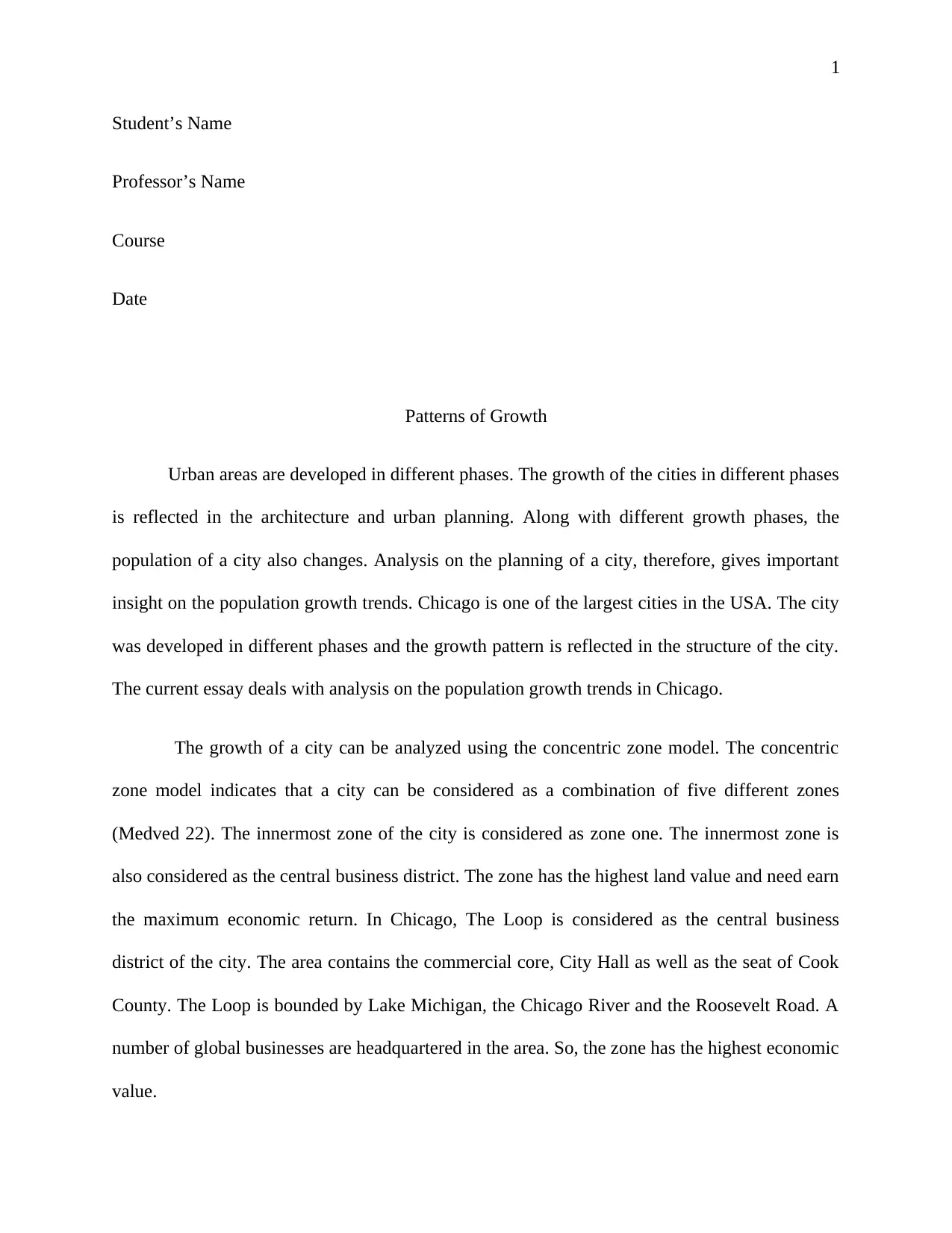
Urban areas are developed in different phases. The growth of the cities in different phases
is reflected in the architecture and urban planning. Along with different growth phases, the
population of a city also changes. Analysis on the planning of a city, therefore, gives important
insight on the population growth trends. Chicago is one of the largest cities in the USA. The city
was developed in different phases and the growth pattern is reflected in the structure of the city.
The current essay deals with analysis on the population growth trends in Chicago.
The growth of a city can be analyzed using the concentric zone model. The concentric
zone model indicates that a city can be considered as a combination of five different zones
(Medved 22). The innermost zone of the city is considered as zone one. The innermost zone is
also considered as the central business district. The zone has the highest land value and need earn
the maximum economic return. In Chicago, The Loop is considered as the central business
district of the city. The area contains the commercial core, City Hall as well as the seat of Cook
County. The Loop is bounded by Lake Michigan, the Chicago River and the Roosevelt Road. A
number of global businesses are headquartered in the area. So, the zone has the highest economic
value.
tabler-icon-diamond-filled.svg

Secure Best Marks with AI Grader

Need help grading? Try our AI Grader for instant feedback on your assignments.
Document Page
2
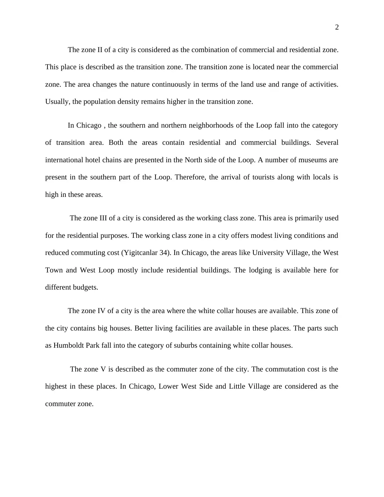
The zone II of a city is considered as the combination of commercial and residential zone.
This place is described as the transition zone. The transition zone is located near the commercial
zone. The area changes the nature continuously in terms of the land use and range of activities.
Usually, the population density remains higher in the transition zone.
In Chicago , the southern and northern neighborhoods of the Loop fall into the category
of transition area. Both the areas contain residential and commercial buildings. Several
international hotel chains are presented in the North side of the Loop. A number of museums are
present in the southern part of the Loop. Therefore, the arrival of tourists along with locals is
high in these areas.
The zone III of a city is considered as the working class zone. This area is primarily used
for the residential purposes. The working class zone in a city offers modest living conditions and
reduced commuting cost (Yigitcanlar 34). In Chicago, the areas like University Village, the West
Town and West Loop mostly include residential buildings. The lodging is available here for
different budgets.
The zone IV of a city is the area where the white collar houses are available. This zone of
the city contains big houses. Better living facilities are available in these places. The parts such
as Humboldt Park fall into the category of suburbs containing white collar houses.
The zone V is described as the commuter zone of the city. The commutation cost is the
highest in these places. In Chicago, Lower West Side and Little Village are considered as the
commuter zone.
Document Page
3
Works Cited
Medved, Primož. "A contribution to the structural model of autonomous sustainable
neighbourhoods: new socio-economical basis for sustainable urban planning." Journal of
cleaner production 120 (2016): 21-30.
Yigitcanlar, Tan. "Smart cities: an effective urban development and management
model?." Australian Planner 52.1 (2015): 27-34.
.
chevron_up_icon
1 out of 3
circle_padding
hide_on_mobile
zoom_out_icon
logo.png

Your All-in-One AI-Powered Toolkit for Academic Success.

Available 24*7 on WhatsApp / Email

[object Object]