NURBN1004 Fieldwork Workbook: Assessing Community Health and Wellbeing
VerifiedAdded on 2020/03/07
|31
|6408
|116
Homework Assignment
AI Summary
This fieldwork workbook, created for the NURBN1004 course, provides a comprehensive analysis of community health in Ballarat, Victoria. The assignment requires students to explore various aspects of the community across an 8-week period, including history, demographics, culture, physical environment, recreation, socioeconomic state, and access to services and resources. Students are tasked with collecting observations, gathering statistical data, and interpreting the information to understand its impact on the health and wellbeing of the population. The workbook covers elements such as the city's history, population demographics, cultural diversity, climate, recreational facilities, and socioeconomic indicators. Students are expected to compare their findings with regional and state-level data, providing a detailed assessment of how these factors influence community health outcomes and includes photographic evidence and proper referencing.
2017 NURBN1004 Fieldwork Workbook
Instructions:
ALL elements (12) are to be completed throughout the 8 week fieldwork period and this
workbook is then to be submitted for assessmentby 5pm, Friday 22nd Septemberalong with
your Community Profile Fact Sheet.
The elements are grouped strategically so you are addressing 3 elements each field work
session; which is every fortnight. They are grouped into topics, which are:
People and Culture
Environment and Accessibility
Socioeconomic State and Connection
Services and Resources
You will notice that each template has a coloured section at the bottom of the page and
each fieldwork session has agroup of elements that is in one particular colour. Eg: Week 2
elements are green, Week 4 elements are orange, and so on. ALL element groups are to be
completed within the 8 week period allocated.
During your fieldwork, you are to collect relevant observations and statistical evidence and
document them in the appropriate column inDOT FORM within the space provided. Be
succinct.ONE page per element ONLY is to be created.You may use smaller text, but no less
than size 10 font is to be used. Photos can be included and shrunk down in size. Photos are
to be referenced by stating YOU as the photographer, location and the date it was taken.
Data must be current, relevant and referenced correctly. NO PHOTOS are to be taken
directly of people.
Once you have gathered your evidence, you then need to step back and interpret what all
the information means- What does this all mean in terms of health for this population?
Make a short summary and demonstrate your understanding of the overall impact of each
element on this population, by answering the question in the coloured box at the bottom of
each page. Use the marking guide to ensure you are meeting all assessment requirements.
NOTE: The observations and evidence you can use during your fieldwork can include
information from all your senses. What do you see? What do you hear? What can you smell?
Also use other resources such as local television, newspapers or radio; what does this tell you
about this community? Look on local notice boards, newsletters, etc.
Fieldwork Workbook: weeks 1-2
People and Culture
Paraphrase This Document
Need a fresh take? Get an instant paraphrase of this document with our AI Paraphraser
Element1: HISTORY
This element is about exploring the history of this community. When was it established?
What determined the name? What significant buildings exist? How did the population come
to be here? What was the community founded on- industry, geographic location, etc? What
significant events has impacted on the development of this community today? How long
have residents lived here- long term or transient population? Can you discover anything else
that ‘paints a picture’ about the history of this community?
Observations (include photos) Data and Comparisons
(LGA)
Resources&
References
The City of Ballarat is largest inland
centre at Victoria.
Aboriginals inhabited the area prior
to 1837.
The name has been derived from 2
words “Balla” and “Arat”, which
mean resting place.
The area was subjected to rapid
immigration from August 1851 due
its development into a goldfield and
mining activities.
Got its present name due to
amalgamation of local government.
Major buildings are the Art gallery,
Australian exprisoners of war
memorial, arch of victory, ballarat
old general cemetery, kryal castle
and the gold museum.
Acknowledges Wathaurung people
as traditional custodians of the
land.
Victoria was
home to many
indigenous
populations
prior to
European
settlement.
However, the
City of Ballarat
had Dja Dja
Wurrung and
Wadawurung
indigenous
people living in
it for more than
40,000 years.
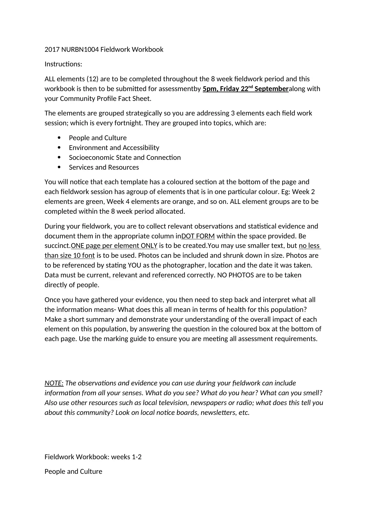
Sturt Street, 29/07/17, clicked by self.
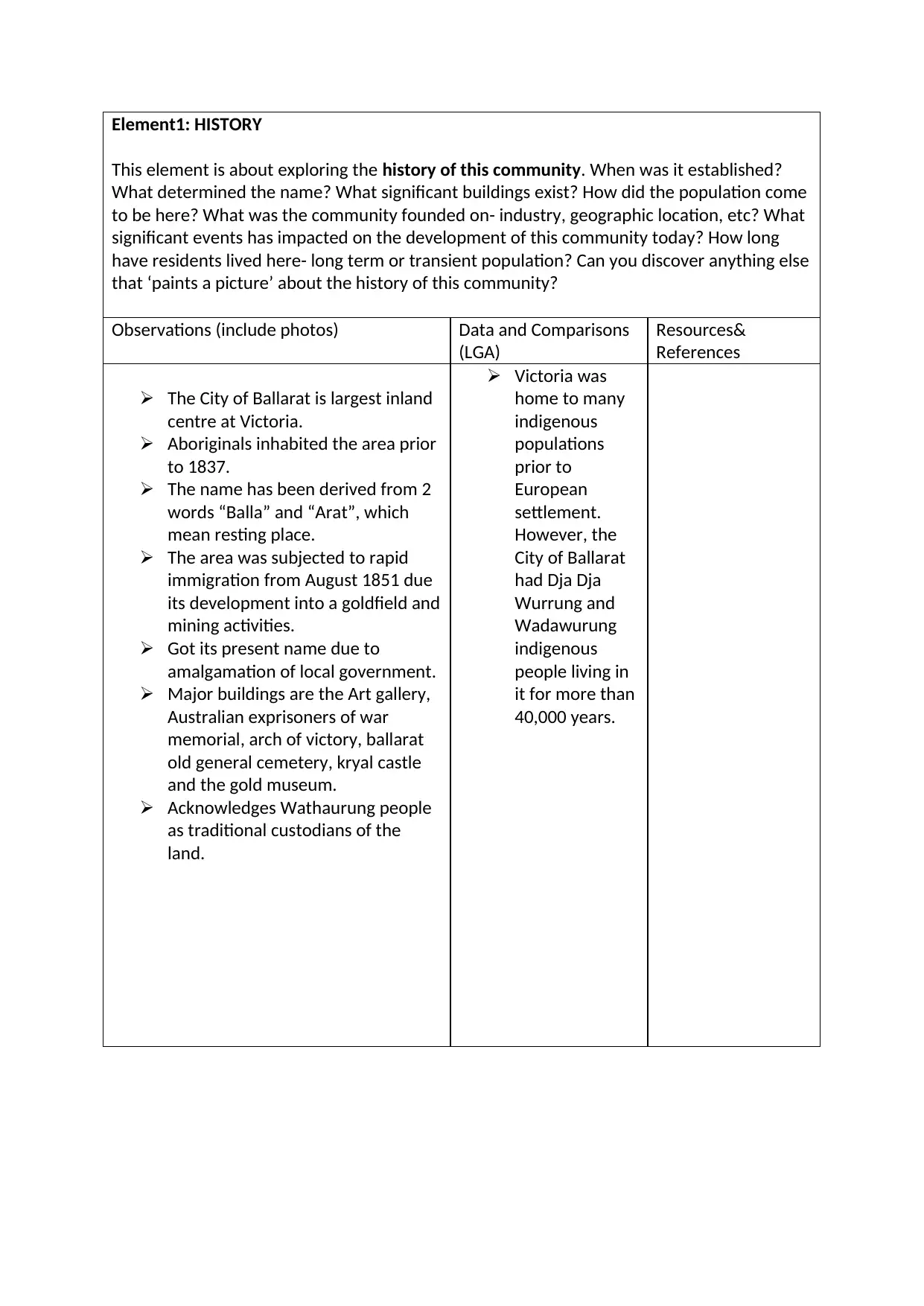
Wildlife park, 31/07/17, clicked by self.
Ballarat high school, 02/08/17, clicked by
self.
Wildlife park, 31/07/17, clicked by self.
Ballarat high school, 02/08/17, clicked by
self.
⊘ This is a preview!⊘
Do you want full access?
Subscribe today to unlock all pages.
Trusted by 1+ million students worldwide
Summary and Analysis:What does this history tell you about the people in your
community? Can you see any indirect links to health?
The community was started by aboriginals and indigenous people. Aboriginals suffer from
higher mortality due to cancer, diabetes, cardiovascular disease, tobacco consumption aqnd
kidney related diseases.
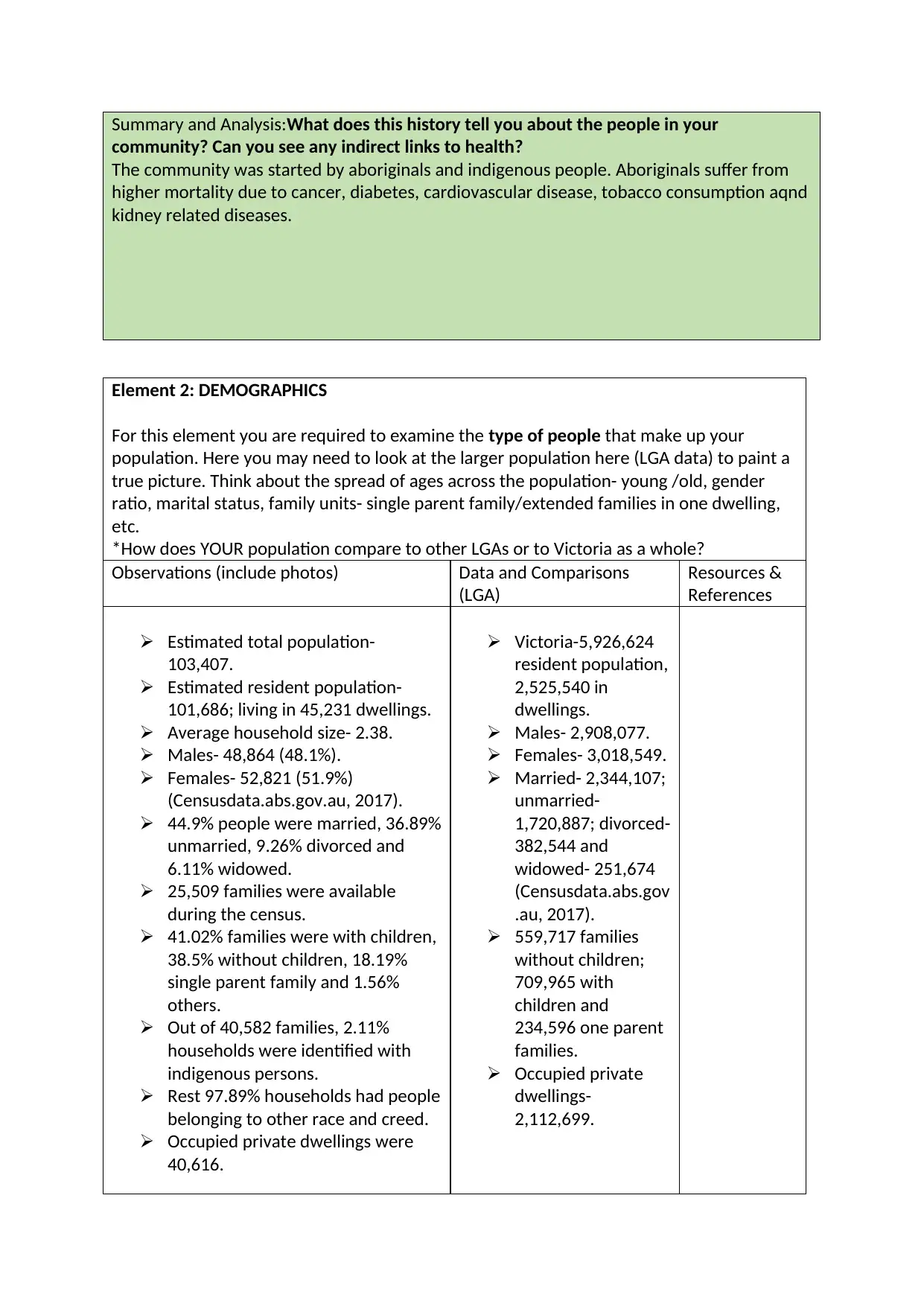
Element 2: DEMOGRAPHICS
For this element you are required to examine the type of people that make up your
population. Here you may need to look at the larger population here (LGA data) to paint a
true picture. Think about the spread of ages across the population- young /old, gender
ratio, marital status, family units- single parent family/extended families in one dwelling,
etc.
*How does YOUR population compare to other LGAs or to Victoria as a whole?
Observations (include photos) Data and Comparisons
(LGA)
Resources &
References
Estimated total population-
103,407.
Estimated resident population-
101,686; living in 45,231 dwellings.
Average household size- 2.38.
Males- 48,864 (48.1%).
Females- 52,821 (51.9%)
(Censusdata.abs.gov.au, 2017).
44.9% people were married, 36.89%
unmarried, 9.26% divorced and
6.11% widowed.
25,509 families were available
during the census.
41.02% families were with children,
38.5% without children, 18.19%
single parent family and 1.56%
others.
Out of 40,582 families, 2.11%
households were identified with
indigenous persons.
Rest 97.89% households had people
belonging to other race and creed.
Occupied private dwellings were
40,616.
Victoria-5,926,624
resident population,
2,525,540 in
dwellings.
Males- 2,908,077.
Females- 3,018,549.
Married- 2,344,107;
unmarried-
1,720,887; divorced-
382,544 and
widowed- 251,674
(Censusdata.abs.gov
.au, 2017).
559,717 families
without children;
709,965 with
children and
234,596 one parent
families.
Occupied private
dwellings-
2,112,699.
community? Can you see any indirect links to health?
The community was started by aboriginals and indigenous people. Aboriginals suffer from
higher mortality due to cancer, diabetes, cardiovascular disease, tobacco consumption aqnd
kidney related diseases.
Element 2: DEMOGRAPHICS
For this element you are required to examine the type of people that make up your
population. Here you may need to look at the larger population here (LGA data) to paint a
true picture. Think about the spread of ages across the population- young /old, gender
ratio, marital status, family units- single parent family/extended families in one dwelling,
etc.
*How does YOUR population compare to other LGAs or to Victoria as a whole?
Observations (include photos) Data and Comparisons
(LGA)
Resources &
References
Estimated total population-
103,407.
Estimated resident population-
101,686; living in 45,231 dwellings.
Average household size- 2.38.
Males- 48,864 (48.1%).
Females- 52,821 (51.9%)
(Censusdata.abs.gov.au, 2017).
44.9% people were married, 36.89%
unmarried, 9.26% divorced and
6.11% widowed.
25,509 families were available
during the census.
41.02% families were with children,
38.5% without children, 18.19%
single parent family and 1.56%
others.
Out of 40,582 families, 2.11%
households were identified with
indigenous persons.
Rest 97.89% households had people
belonging to other race and creed.
Occupied private dwellings were
40,616.
Victoria-5,926,624
resident population,
2,525,540 in
dwellings.
Males- 2,908,077.
Females- 3,018,549.
Married- 2,344,107;
unmarried-
1,720,887; divorced-
382,544 and
widowed- 251,674
(Censusdata.abs.gov
.au, 2017).
559,717 families
without children;
709,965 with
children and
234,596 one parent
families.
Occupied private
dwellings-
2,112,699.
Paraphrase This Document
Need a fresh take? Get an instant paraphrase of this document with our AI Paraphraser
Nonprivate dwellings were 3,405.
There were 89.6% Australian
citizens.
Population above 15 years of age
was 80.9%.
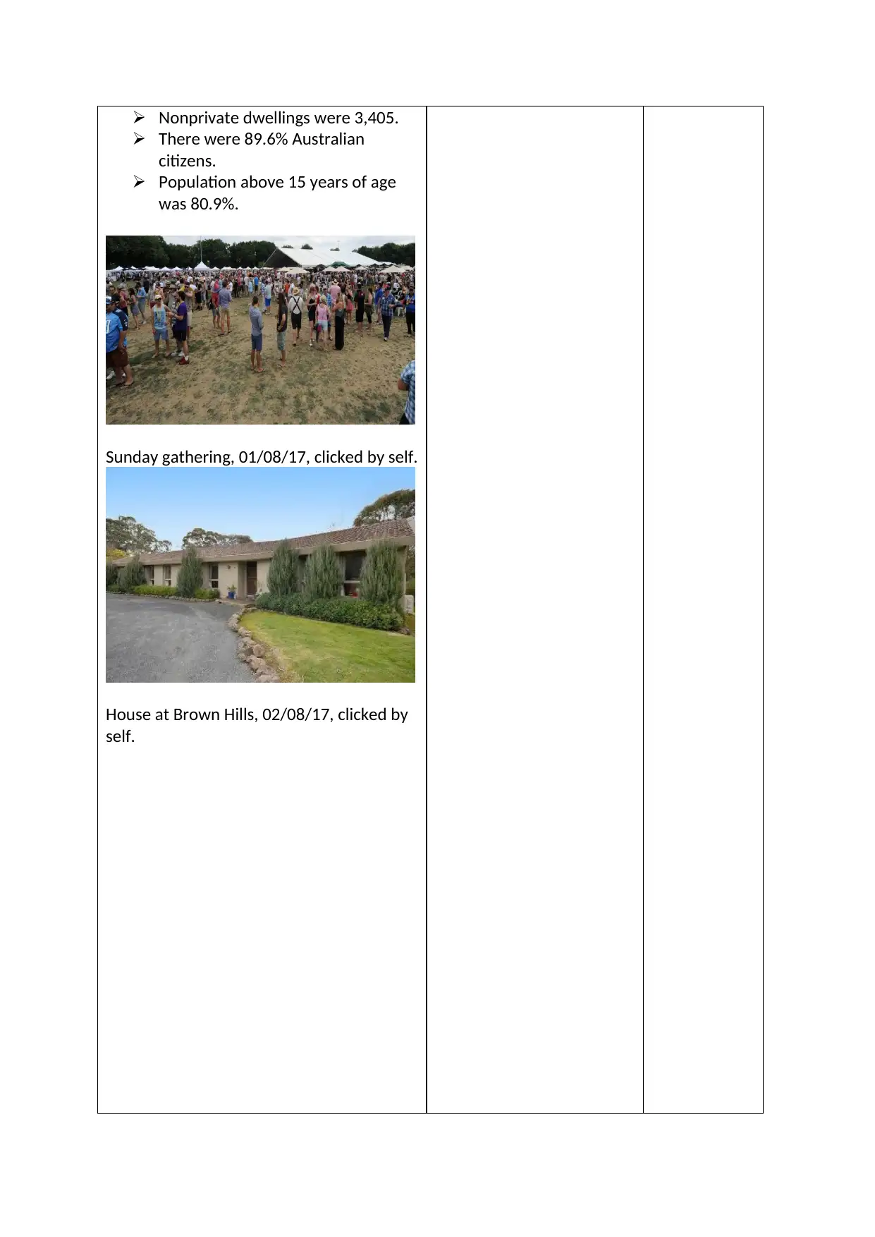
Sunday gathering, 01/08/17, clicked by self.
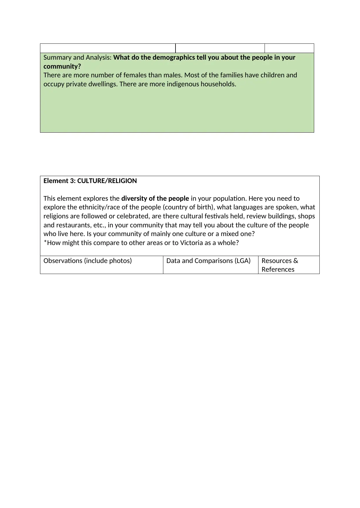
House at Brown Hills, 02/08/17, clicked by
self.
There were 89.6% Australian
citizens.
Population above 15 years of age
was 80.9%.
Sunday gathering, 01/08/17, clicked by self.
House at Brown Hills, 02/08/17, clicked by
self.
Summary and Analysis: What do the demographics tell you about the people in your
community?
There are more number of females than males. Most of the families have children and
occupy private dwellings. There are more indigenous households.
Element 3: CULTURE/RELIGION
This element explores the diversity of the people in your population. Here you need to
explore the ethnicity/race of the people (country of birth), what languages are spoken, what
religions are followed or celebrated, are there cultural festivals held, review buildings, shops
and restaurants, etc., in your community that may tell you about the culture of the people
who live here. Is your community of mainly one culture or a mixed one?
*How might this compare to other areas or to Victoria as a whole?
Observations (include photos) Data and Comparisons (LGA) Resources &
References
⊘ This is a preview!⊘
Do you want full access?
Subscribe today to unlock all pages.
Trusted by 1+ million students worldwide
1,473 aboriginals and Torres
strait islander people found.
The maximum ancestries were
English, Australian and Irish.
English- 42,457 (41.8%)
Australian- 40,281 (39.6%)
Irish- 16,063 (15.08%)
Scottish- 12,431 (12.2%)
German- 4,383 (4.3%)
Dutch- 2,661 (2.6%)
Italian- 2,512 (2.5%)
(Censusdata.abs.gov.au, 2017)
Chinese- 1,632 (1.6%)
Indian- 1,132 (1.1%)
Welsh- 643 (0.6%)
Total people born overseas
were 9,630 (9.5%).
They belonged to non-English
speaking countries (5.5%), main
English speaking countries
(3.9%) and Australia (83.7%).
Most of the overseas born
population belonged to the U.K
followed by New Zealand, India
and China.
The number of non-religious
people experienced more
change when compared to
Christians and non-Christians in
2016.
Christians- 24,725 (24.3%)
Anglican- 10,823 (10.6%)
Uniting Church- 6,930 (6.8%)
Presbyterian and reformed-
2,800 (2.8%)
Christian, nfd- 1,820 (1.8%)
Churches of Christ- 958 (0.9%)
Baptist- 900 (0.9%)
Buddhism- 759 (0.7%0
Pentecostal- 646 (0.6%)
Hinduism- 616 (0.6%)
(Censusdata.abs.gov.au, 2017).
Several cultural events like
ANZAC day, Australia day,
Children’s week, Ballarat
Backyard tasters, Harmony fest,
47,788 indigenous
people.
1,377,134 Catholic;
530,710 Anglican and
204,587 Eastern
Orthodox.
Ancestry- 22.6%
English, 21.1%
Australian, 7.6%
Iriswh, 6.3% Scottish
and 4.7% Chinese.
Overseas birth
ancestry- 64.9%
Australia, 2.9% for the
U.K and India, 2.7%
for China and 1.6% for
New Zealand.
Censusdata.abs.g
ov.au.
(2017). 2016
Census
QuickStats:
Victoria. Censusda
ta.abs.gov.au.
Retrieved 15
September 2017,
from
http://www.censu
sdata.abs.gov.au/
census_services/g
etproduct/census
/2016/quickstat/
2?opendocument
Paraphrase This Document
Need a fresh take? Get an instant paraphrase of this document with our AI Paraphraser
Christmas, Summer Sundays
and White Ribbon days are
held.
Different shopping markets like
the Bridge mall, Central Square
Ballarat, Stockland Wendouree,
Mill market house a number of
speciality stores that offer a
wonderful retail experience.
Widely visited restaurants are
The Forge Pizzeria, Yellow
Espresso, L’Espresso, Fu Man
Lou Dumpling Bar, Meigas and
Kambei Japanese Restaurants.
The most important buildings
are the Arch of Victory, Olympic
Precinct, Chinese open
monument, Federation
University, Ballarat Base
hospital, Tramway Museum,
Sovereign hill and Australian Ex-
POW memorial.
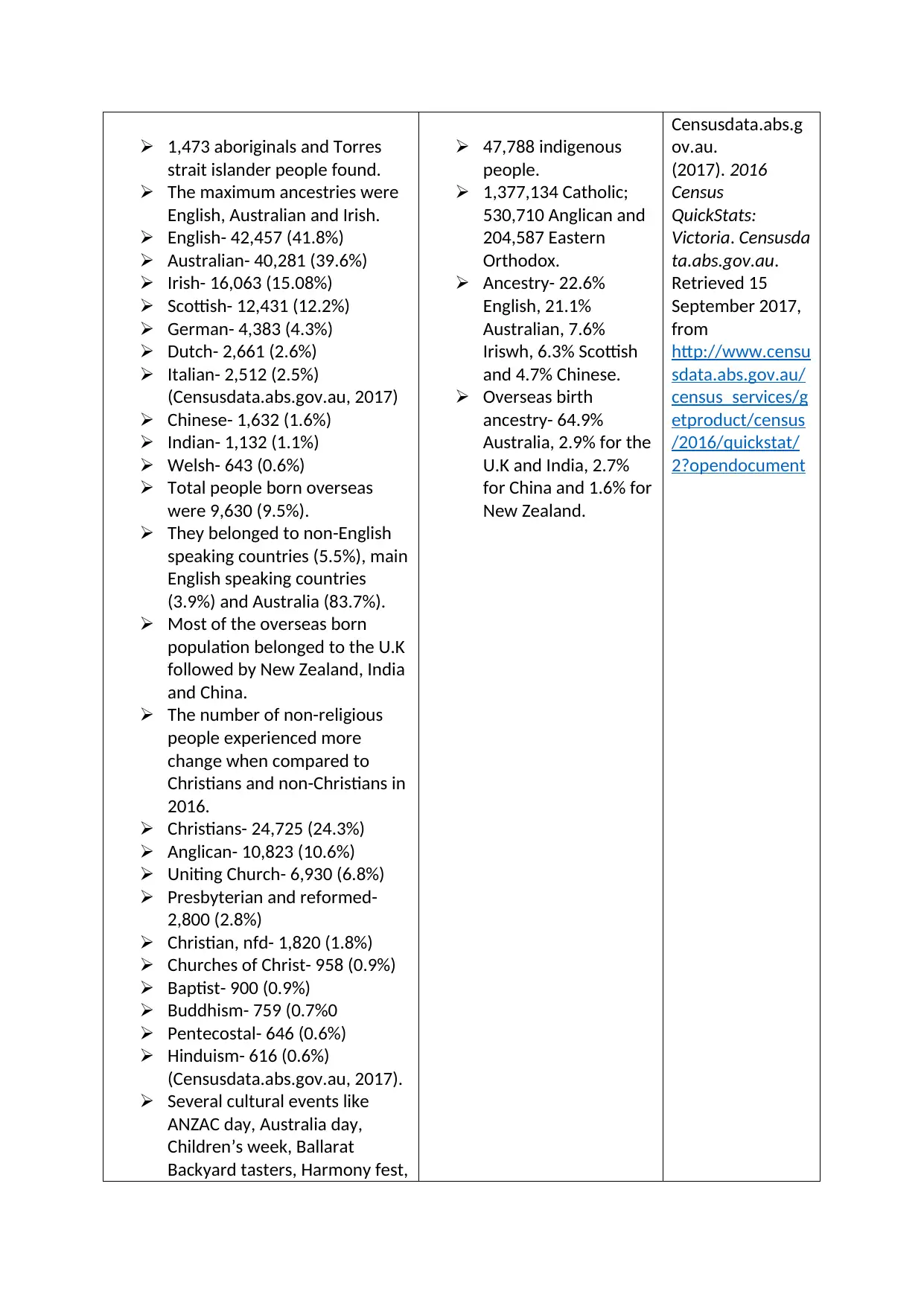
Ballarat Central Uniting Church,
04/08/17, clicked by self.
and White Ribbon days are
held.
Different shopping markets like
the Bridge mall, Central Square
Ballarat, Stockland Wendouree,
Mill market house a number of
speciality stores that offer a
wonderful retail experience.
Widely visited restaurants are
The Forge Pizzeria, Yellow
Espresso, L’Espresso, Fu Man
Lou Dumpling Bar, Meigas and
Kambei Japanese Restaurants.
The most important buildings
are the Arch of Victory, Olympic
Precinct, Chinese open
monument, Federation
University, Ballarat Base
hospital, Tramway Museum,
Sovereign hill and Australian Ex-
POW memorial.
Ballarat Central Uniting Church,
04/08/17, clicked by self.
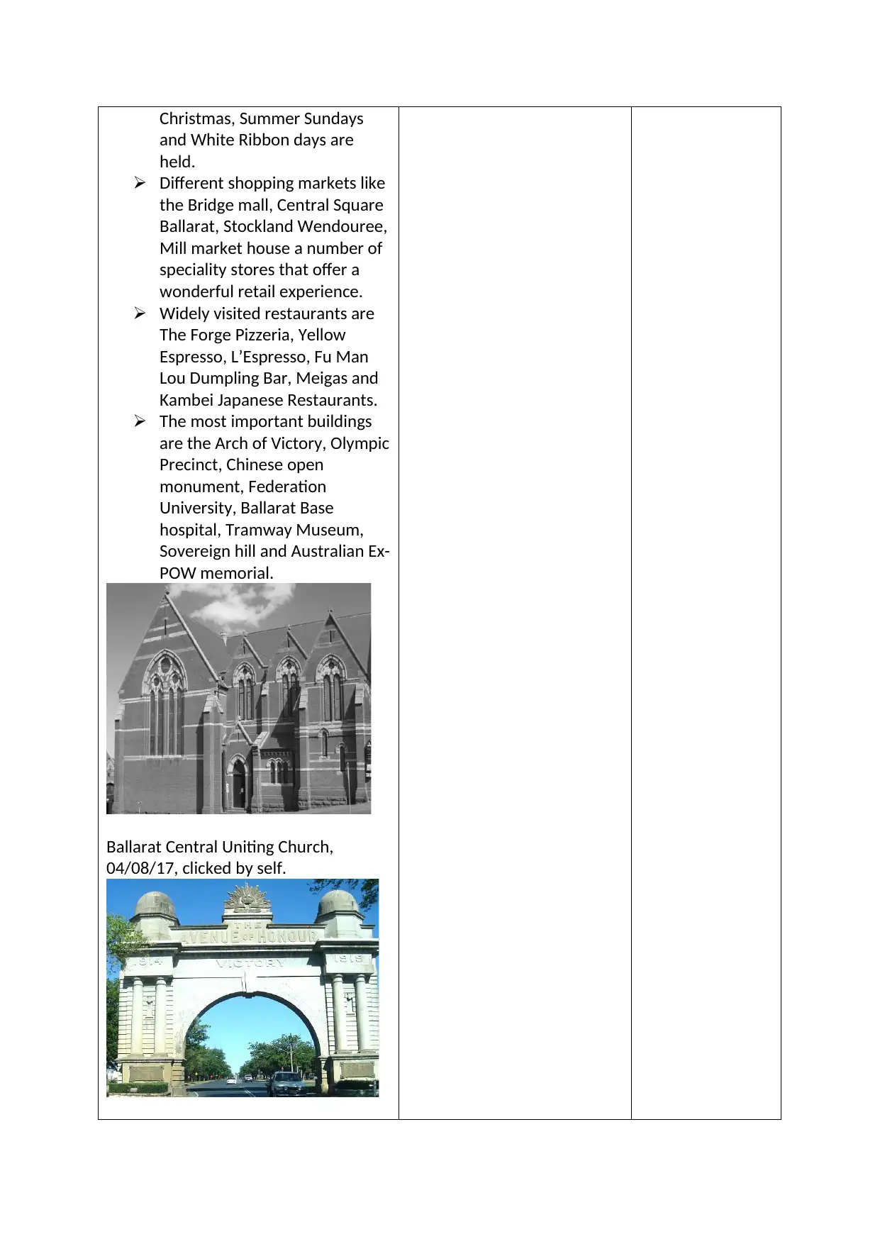
Arch of Victory, 05/08/17, clicked by
self.
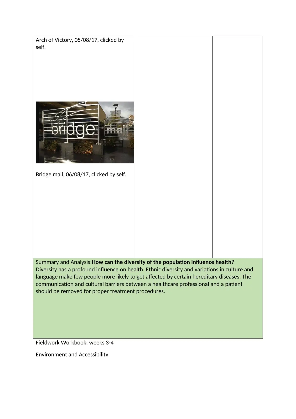
Bridge mall, 06/08/17, clicked by self.
Summary and Analysis:How can the diversity of the population influence health?
Diversity has a profound influence on health. Ethnic diversity and variations in culture and
language make few people more likely to get affected by certain hereditary diseases. The
communication and cultural barriers between a healthcare professional and a patient
should be removed for proper treatment procedures.
Fieldwork Workbook: weeks 3-4
Environment and Accessibility
self.
Bridge mall, 06/08/17, clicked by self.
Summary and Analysis:How can the diversity of the population influence health?
Diversity has a profound influence on health. Ethnic diversity and variations in culture and
language make few people more likely to get affected by certain hereditary diseases. The
communication and cultural barriers between a healthcare professional and a patient
should be removed for proper treatment procedures.
Fieldwork Workbook: weeks 3-4
Environment and Accessibility
⊘ This is a preview!⊘
Do you want full access?
Subscribe today to unlock all pages.
Trusted by 1+ million students worldwide
Element4: PHYSICAL ENVIRONMENT
This element looks at the location and physical surrounds of this community. What climate
does this community have? What is the quality of the air, the water, etc.? What sort of
topography is it surrounded by? How accessible is the location (rural, remote, metro, etc)
and what natural disasters might it be prone to? What else can you tell me about the area
or environment where this community lives?
*How does this compare to other areas or to Victoria?
Observations (include photos) Data and
Comparisons (LGA)
Resources &
References
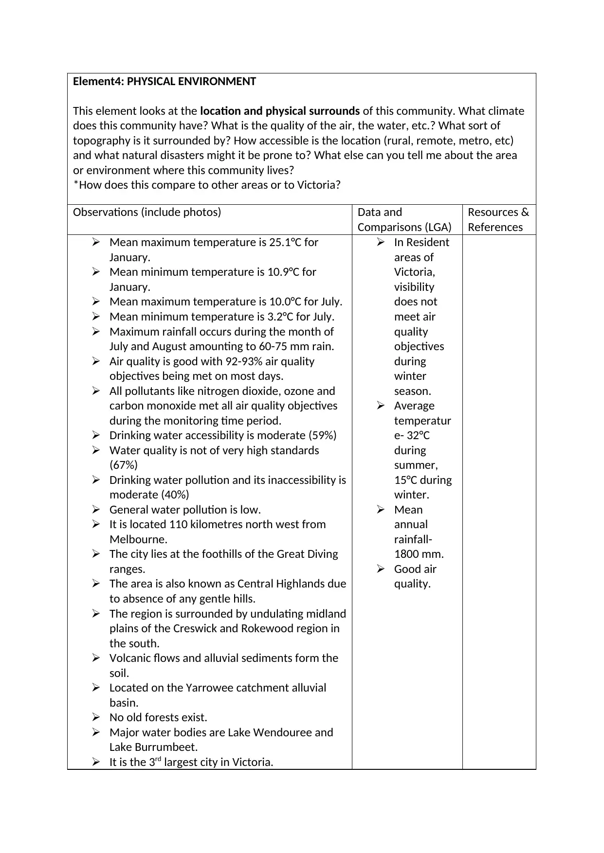
Mean maximum temperature is 25.1°C for
January.
Mean minimum temperature is 10.9°C for
January.
Mean maximum temperature is 10.0°C for July.
Mean minimum temperature is 3.2°C for July.
Maximum rainfall occurs during the month of
July and August amounting to 60-75 mm rain.
Air quality is good with 92-93% air quality
objectives being met on most days.
All pollutants like nitrogen dioxide, ozone and
carbon monoxide met all air quality objectives
during the monitoring time period.
Drinking water accessibility is moderate (59%)
Water quality is not of very high standards
(67%)
Drinking water pollution and its inaccessibility is
moderate (40%)
General water pollution is low.
It is located 110 kilometres north west from
Melbourne.
The city lies at the foothills of the Great Diving
ranges.
The area is also known as Central Highlands due
to absence of any gentle hills.
The region is surrounded by undulating midland
plains of the Creswick and Rokewood region in
the south.
Volcanic flows and alluvial sediments form the
soil.
Located on the Yarrowee catchment alluvial
basin.
No old forests exist.
Major water bodies are Lake Wendouree and
Lake Burrumbeet.
It is the 3rd largest city in Victoria.
In Resident
areas of
Victoria,
visibility
does not
meet air
quality
objectives
during
winter
season.
Average
temperatur
e- 32°C
during
summer,
15°C during
winter.
Mean
annual
rainfall-
1800 mm.
Good air
quality.
This element looks at the location and physical surrounds of this community. What climate
does this community have? What is the quality of the air, the water, etc.? What sort of
topography is it surrounded by? How accessible is the location (rural, remote, metro, etc)
and what natural disasters might it be prone to? What else can you tell me about the area
or environment where this community lives?
*How does this compare to other areas or to Victoria?
Observations (include photos) Data and
Comparisons (LGA)
Resources &
References
Mean maximum temperature is 25.1°C for
January.
Mean minimum temperature is 10.9°C for
January.
Mean maximum temperature is 10.0°C for July.
Mean minimum temperature is 3.2°C for July.
Maximum rainfall occurs during the month of
July and August amounting to 60-75 mm rain.
Air quality is good with 92-93% air quality
objectives being met on most days.
All pollutants like nitrogen dioxide, ozone and
carbon monoxide met all air quality objectives
during the monitoring time period.
Drinking water accessibility is moderate (59%)
Water quality is not of very high standards
(67%)
Drinking water pollution and its inaccessibility is
moderate (40%)
General water pollution is low.
It is located 110 kilometres north west from
Melbourne.
The city lies at the foothills of the Great Diving
ranges.
The area is also known as Central Highlands due
to absence of any gentle hills.
The region is surrounded by undulating midland
plains of the Creswick and Rokewood region in
the south.
Volcanic flows and alluvial sediments form the
soil.
Located on the Yarrowee catchment alluvial
basin.
No old forests exist.
Major water bodies are Lake Wendouree and
Lake Burrumbeet.
It is the 3rd largest city in Victoria.
In Resident
areas of
Victoria,
visibility
does not
meet air
quality
objectives
during
winter
season.
Average
temperatur
e- 32°C
during
summer,
15°C during
winter.
Mean
annual
rainfall-
1800 mm.
Good air
quality.
Paraphrase This Document
Need a fresh take? Get an instant paraphrase of this document with our AI Paraphraser
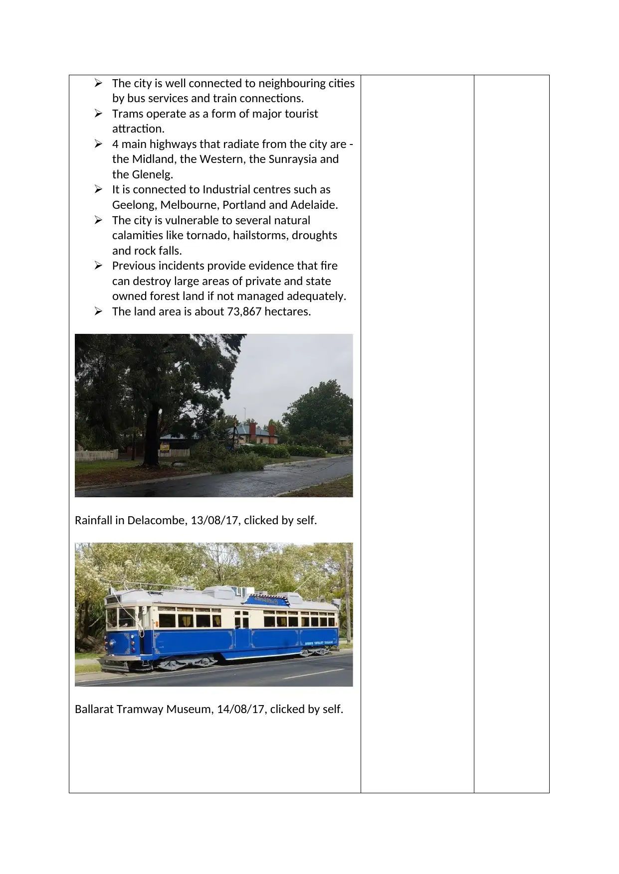
The city is well connected to neighbouring cities
by bus services and train connections.
Trams operate as a form of major tourist
attraction.
4 main highways that radiate from the city are -
the Midland, the Western, the Sunraysia and
the Glenelg.
It is connected to Industrial centres such as
Geelong, Melbourne, Portland and Adelaide.
The city is vulnerable to several natural
calamities like tornado, hailstorms, droughts
and rock falls.
Previous incidents provide evidence that fire
can destroy large areas of private and state
owned forest land if not managed adequately.
The land area is about 73,867 hectares.
Rainfall in Delacombe, 13/08/17, clicked by self.
Ballarat Tramway Museum, 14/08/17, clicked by self.
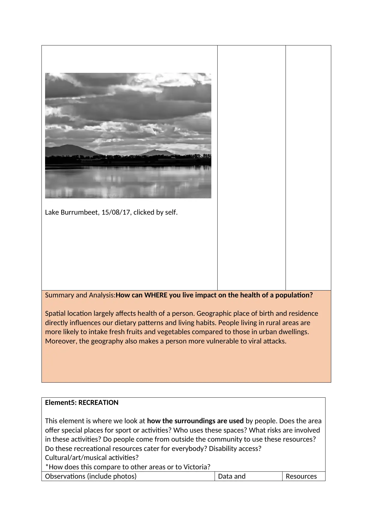
Lake Burrumbeet, 15/08/17, clicked by self.
Summary and Analysis:How can WHERE you live impact on the health of a population?
Spatial location largely affects health of a person. Geographic place of birth and residence
directly influences our dietary patterns and living habits. People living in rural areas are
more likely to intake fresh fruits and vegetables compared to those in urban dwellings.
Moreover, the geography also makes a person more vulnerable to viral attacks.
Element5: RECREATION
This element is where we look at how the surroundings are used by people. Does the area
offer special places for sport or activities? Who uses these spaces? What risks are involved
in these activities? Do people come from outside the community to use these resources?
Do these recreational resources cater for everybody? Disability access?
Cultural/art/musical activities?
*How does this compare to other areas or to Victoria?
Observations (include photos) Data and Resources
⊘ This is a preview!⊘
Do you want full access?
Subscribe today to unlock all pages.
Trusted by 1+ million students worldwide
1 out of 31
Related Documents


Your All-in-One AI-Powered Toolkit for Academic Success.
+13062052269
info@desklib.com
Available 24*7 on WhatsApp / Email
![[object Object]](/_next/static/media/star-bottom.7253800d.svg)
Unlock your academic potential
Copyright © 2020–2026 A2Z Services. All Rights Reserved. Developed and managed by ZUCOL.