ICT705 Data & System Integration: Clinic Locator System Project
VerifiedAdded on 2023/06/11
|12
|1694
|296
Project
AI Summary
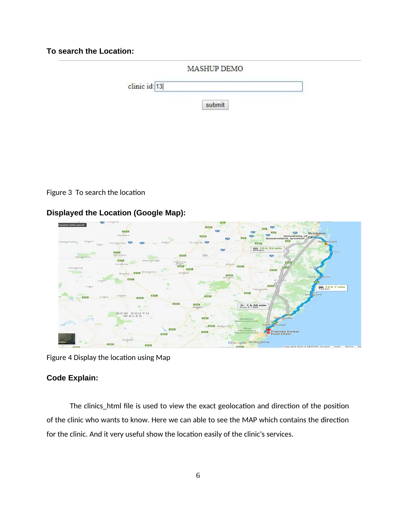
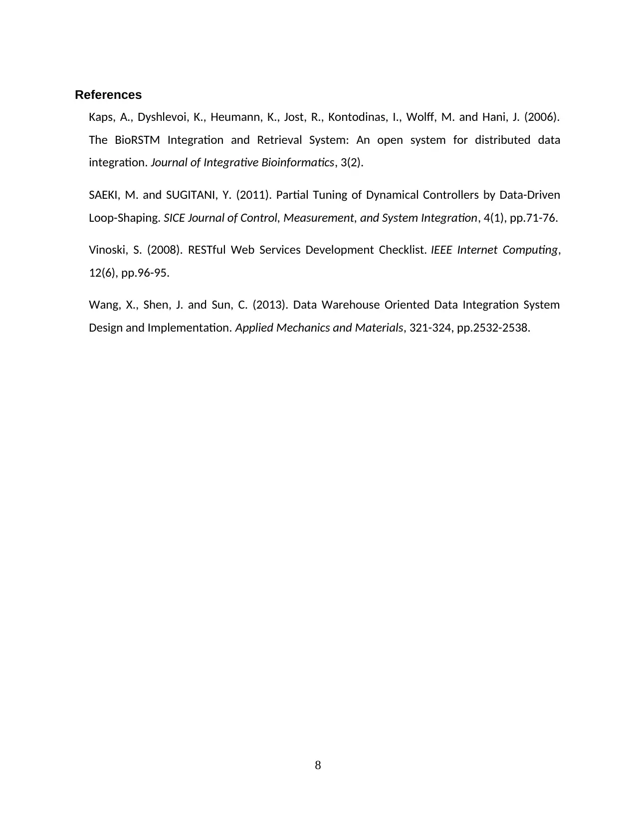
This project focuses on developing a web application that allows users to query and locate clinics based on service type or postal code. It utilizes various technologies including HTML, Python, petl, parser, and bottle. The data is integrated from four different sources: clinics.csv, an XML file containing location details, services.csv containing clinical service details, and a CSV file linking clinics to services. Python scripts are used for data cleaning and merging, creating a unified CSV file with attributes like service ID, service name, email, clinic ID, clinic name, suburb, and latitude/longitude. The project also demonstrates a RESTful web service that accepts clinic queries and provides relevant services, along with a mashup demo using HTML and CSS, incorporating error handling. The final output is a clinic locator system displayed using Google Maps.


1 out of 12
Related Documents


Your All-in-One AI-Powered Toolkit for Academic Success.
+13062052269
info@desklib.com
Available 24*7 on WhatsApp / Email
![[object Object]](/_next/static/media/star-bottom.7253800d.svg)
Copyright © 2020–2026 A2Z Services. All Rights Reserved. Developed and managed by ZUCOL.