Higher National Certificate Geotechnics and Soil Mechanics Report
VerifiedAdded on 2021/03/16
|14
|3169
|274
Report
AI Summary
This assignment report for a Higher National Certificate/Diploma in Construction and the Built Environment focuses on geotechnics and soil mechanics. It begins with an overview of rocks, including the rock cycle, rock types (sedimentary, igneous, metamorphic), and their formation, usage, and the Bowen reaction series. The report then explores the use of soil as a construction material, rock mass classification, and RQD assessment. The second task delves into brownfield site investigations, covering site assessment, disturbed and undisturbed soil samples, and soil classification. The report also examines plasticity in soil classification, in-situ and laboratory testing, and soil survey and sampling. The final task focuses on in-situ sampling tests, including soil moisture content, bulk density, shear strength, and compressibility testing in the laboratory, and the California Bearing Ratio (CBR).
HIGHER NATIONAL CERTIFICATE/DIPLOMA
IN CONSTRUCTION AND THE BUILT
ENVIRONMENT
29 – GEOTECHICS AND SOIL MECHANICS
ASSIGNMENT
SUBMITTED BY:
(YOUR NAME HERE)
(YOUR STUDENT ID HERE)
SUBMITTED TO:
DATED:
IN CONSTRUCTION AND THE BUILT
ENVIRONMENT
29 – GEOTECHICS AND SOIL MECHANICS
ASSIGNMENT
SUBMITTED BY:
(YOUR NAME HERE)
(YOUR STUDENT ID HERE)
SUBMITTED TO:
DATED:
Paraphrase This Document
Need a fresh take? Get an instant paraphrase of this document with our AI Paraphraser
1 TASK 1
1.1 ROCKS
In geology, rock is a normal and cohesive mixture of one or more minerals. These aggregates
constitute the fundamental unit of which the solid earth is formed and usually shape
quantities that can be identified and mapped (Robert & Cornelis, 2020).
THE ROCK CYCLE:
The rock cycle is a sequence of processes that generate and change the rock forms in the crust
of the earth. Three major types of rocks are available: (National Geographic Society, 2019)
Sedimentary
Igneous
Metamorphic
Any of these rocks are created by physical modifications that are part of the rock cycle, such
as melting, freezing, eroding, compacting, or deforming.
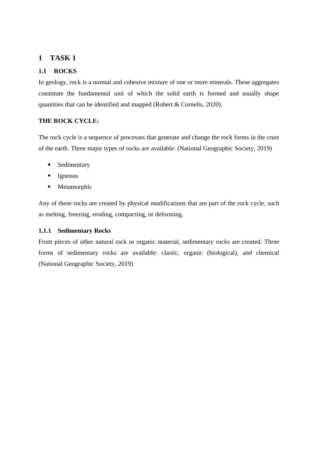
1.1.1 Sedimentary Rocks
From pieces of other natural rock or organic material, sedimentary rocks are created. Three
forms of sedimentary rocks are available: clastic, organic (biological), and chemical
(National Geographic Society, 2019)
1.1 ROCKS
In geology, rock is a normal and cohesive mixture of one or more minerals. These aggregates
constitute the fundamental unit of which the solid earth is formed and usually shape
quantities that can be identified and mapped (Robert & Cornelis, 2020).
THE ROCK CYCLE:
The rock cycle is a sequence of processes that generate and change the rock forms in the crust
of the earth. Three major types of rocks are available: (National Geographic Society, 2019)
Sedimentary
Igneous
Metamorphic
Any of these rocks are created by physical modifications that are part of the rock cycle, such
as melting, freezing, eroding, compacting, or deforming.
1.1.1 Sedimentary Rocks
From pieces of other natural rock or organic material, sedimentary rocks are created. Three
forms of sedimentary rocks are available: clastic, organic (biological), and chemical
(National Geographic Society, 2019)
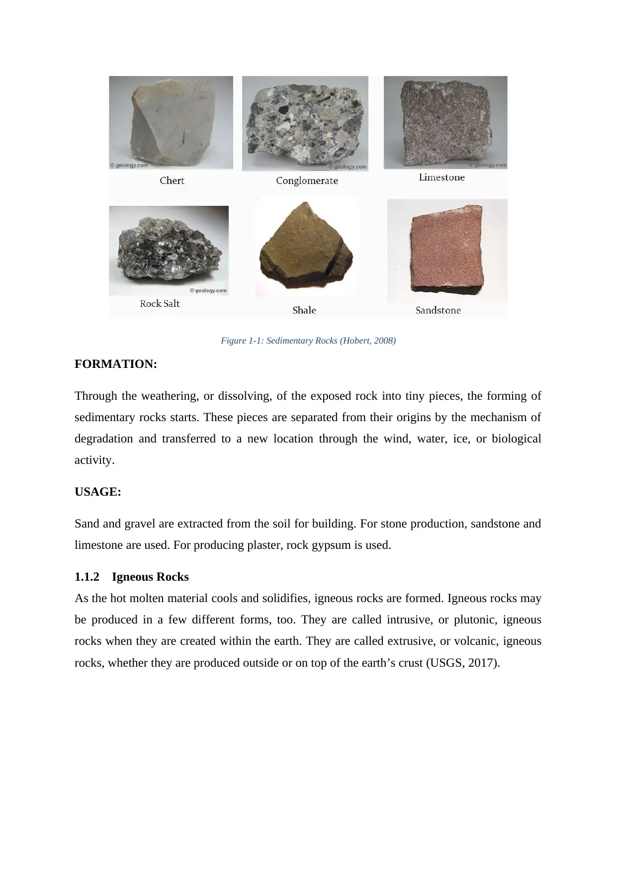
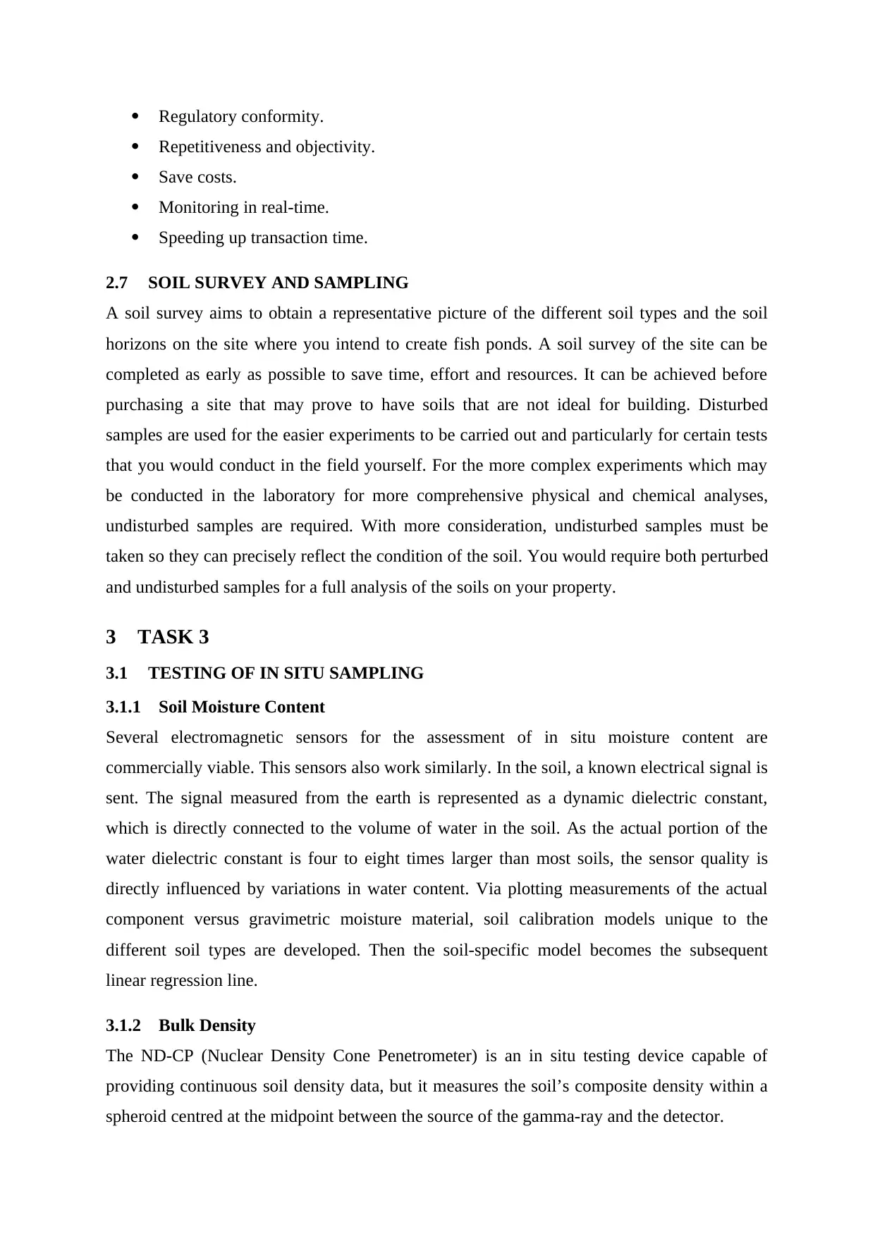
Figure 1-1: Sedimentary Rocks (Hobert, 2008)
FORMATION:
Through the weathering, or dissolving, of the exposed rock into tiny pieces, the forming of
sedimentary rocks starts. These pieces are separated from their origins by the mechanism of
degradation and transferred to a new location through the wind, water, ice, or biological
activity.
USAGE:
Sand and gravel are extracted from the soil for building. For stone production, sandstone and
limestone are used. For producing plaster, rock gypsum is used.
1.1.2 Igneous Rocks
As the hot molten material cools and solidifies, igneous rocks are formed. Igneous rocks may
be produced in a few different forms, too. They are called intrusive, or plutonic, igneous
rocks when they are created within the earth. They are called extrusive, or volcanic, igneous
rocks, whether they are produced outside or on top of the earth’s crust (USGS, 2017).
⊘ This is a preview!⊘
Do you want full access?
Subscribe today to unlock all pages.
Trusted by 1+ million students worldwide
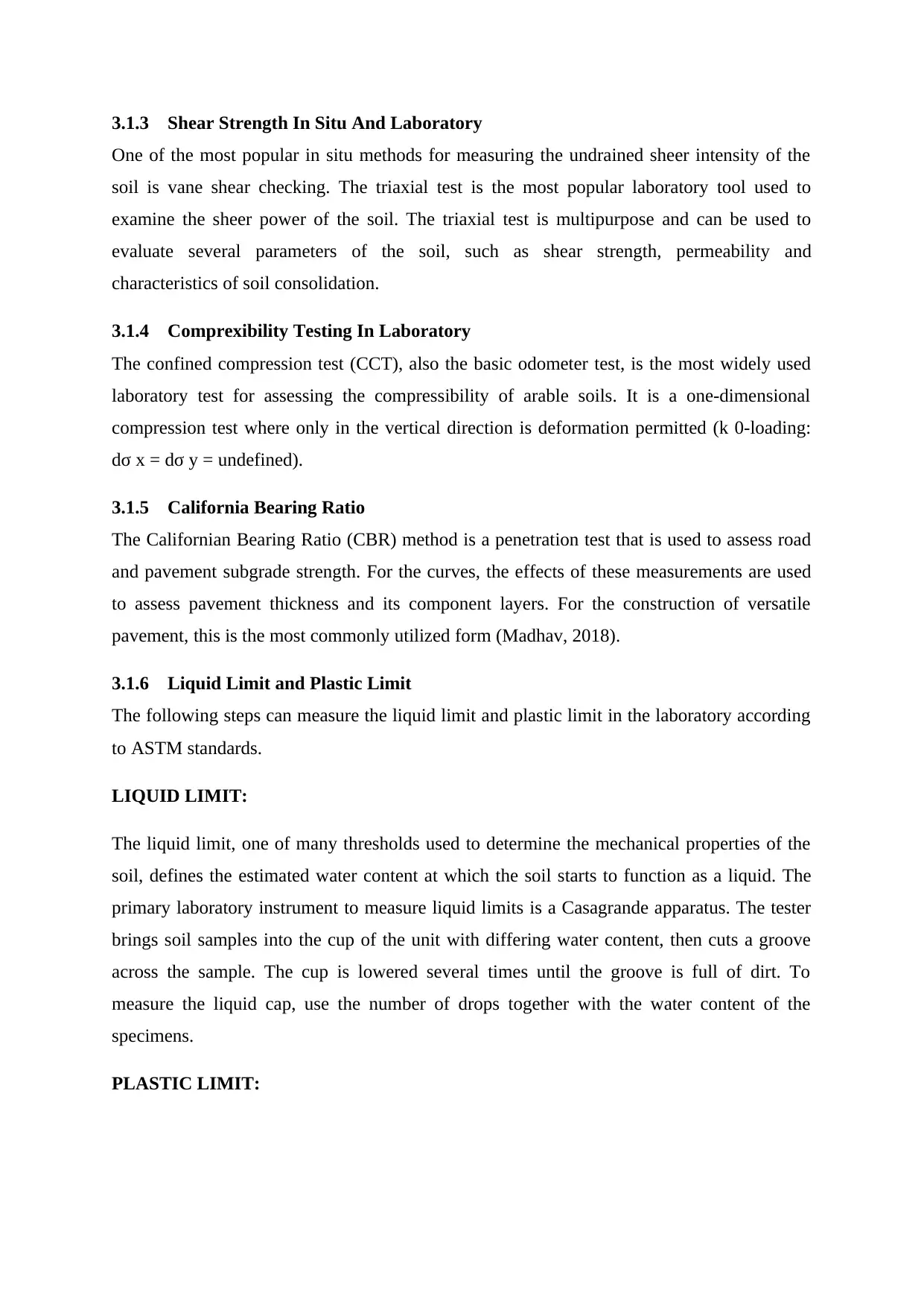
Figure 1-2: Igneous Rocks (Liubomyr, 2020)
FORMATION:
Examples of traditional invasive stones include granite and diorite. For large mineral grains,
they have a rugged texture. Alternatively, very tiny grains and a very fine texture include
rocks like basalt and obsidian. The texture of Extrusive igneous rocks may often be vesicular,
or holey.
USAGE:
Igneous minerals have a large spectrum of applications. As stone for houses and monuments,
one major application is. Diorite was used widely for vases and other decorative artwork by
ancient cultures and is still used today for sculpture. Both in building architecture and for
sculptures, granite is used.
1.1.3 Metamorphic Rocks
Metamorphic rocks are rocks that have already been altered by immense heat or pressure
from their original shape. There are two types of metamorphic stones: (The Geological
Society, 2015)
Foliated
Non-foliated
Paraphrase This Document
Need a fresh take? Get an instant paraphrase of this document with our AI Paraphraser
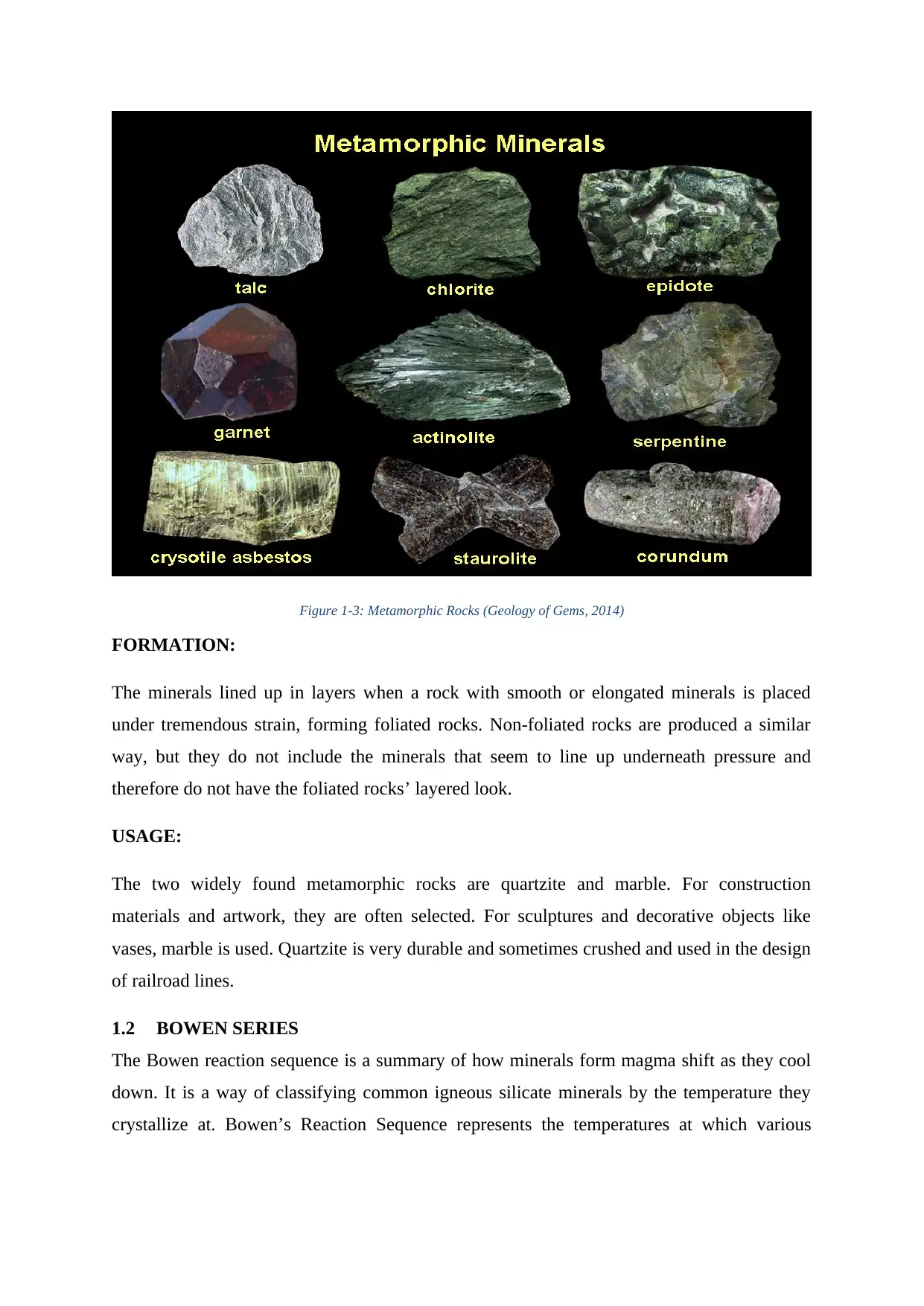
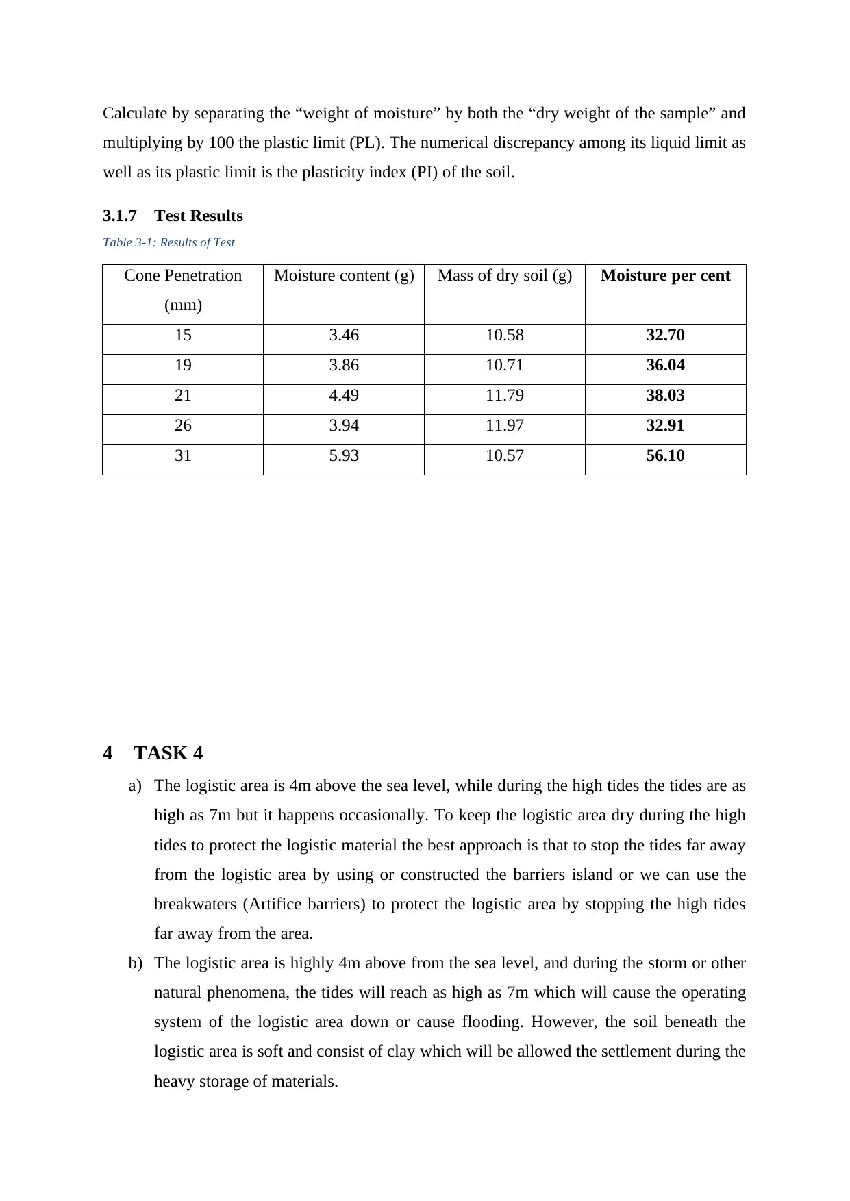
Figure 1-3: Metamorphic Rocks (Geology of Gems, 2014)
FORMATION:
The minerals lined up in layers when a rock with smooth or elongated minerals is placed
under tremendous strain, forming foliated rocks. Non-foliated rocks are produced a similar
way, but they do not include the minerals that seem to line up underneath pressure and
therefore do not have the foliated rocks’ layered look.
USAGE:
The two widely found metamorphic rocks are quartzite and marble. For construction
materials and artwork, they are often selected. For sculptures and decorative objects like
vases, marble is used. Quartzite is very durable and sometimes crushed and used in the design
of railroad lines.
1.2 BOWEN SERIES
The Bowen reaction sequence is a summary of how minerals form magma shift as they cool
down. It is a way of classifying common igneous silicate minerals by the temperature they
crystallize at. Bowen’s Reaction Sequence represents the temperatures at which various
typical silicate minerals shift from liquid to solid phase (or from solid to liquid). The concepts
Bowen understood are as follows:
As a melt, minerals that are in thermodynamic equilibrium with the melt cool down
(dissolution equals crystallization; if no equilibrium dominates (supersaturation),
either crystallization or dissolution (undersaturated).
The melt will alter its composition as the melt keeps cooling and minerals keep
crystallizing.
Through this melt, the earlier developed crystals will no longer be in equilibrium and
will be melted to create fresh minerals again. In other terms, these crystals react to the
melt to create new crystals, thus the reaction series term.
Popular igneous rock minerals can be classified into two sets, a continuous feldspar
reaction series, and a discontinuous ferromagnesian mineral reaction series (olivine,
pyroxene, hornblende, and biotite).
This reaction sequence means that Magmatic Separation will derive all the numerous
kinds of igneous rocks from a single “parental magma”.
1.3 SOIL AS CONSTRUCTION MATERIAL
Soil is used specifically for the manufacture of construction materials such as cement and
brick, as well as indirectly for the growing of plants used for the production of building
materials, such as wood panels and insulation fibres. Many homes and other buildings have
traditionally been constructed from clay or dirt that has been caked and dried into bricks. The
voice of the alternative material use in the construction of dams is rising due to the
unavailability of the impervious soil for the dam’s construction.
1.4 ROCK MASS
For diverse infrastructure design and stability research, rock mass classification systems are
used. These are focused on analytical relationships, such as caves, cliffs, pillars, and
excitability, between rock mass parameters and engineering applications. In 1946, for tunnels
with steel set protection, the first rock mass classification scheme in geotechnical engineering
was proposed.
1.5 RQD ASSESSMENT
RQD is an indicator of rock content in the troublesome rock that is extremely weathered, soft,
broken, sheared, and joined is counted against the rock mass in Deere’s words from 1989. It
⊘ This is a preview!⊘
Do you want full access?
Subscribe today to unlock all pages.
Trusted by 1+ million students worldwide
is then clearly a calculation of the percentage of ‘right’ rock retrieved from a borehole
interval.’
2 TASK 2
2.1 BROWNFIELD SITE
Brownfield property is any previously built area in community development that is not in
operation that could be possibly polluted. The word is often used to identify historically used
land with documented or alleged pollutants for agricultural or commercial uses, including soil
contamination related to hazardous waste (Alker, et al., 2000).
2.2 BROWNFIELD SITE INVESTIGATION
In assessing the potential for and degree of pollution of a location, several measures are
required. These include cooperation with the appropriate regulatory authorities, retention of
the consultant’s services to carry out site inquiries and carrying out the required
investigations.
Interiors of Structures.
Samples of soil from reported affected regions.
Samples of sediment and assessments of water temperatures.
Samples from seawater and sediment.
Samples of soil gas to screen for the capacity for vapour infiltration.
To create reference parameters, history soil samples.
Evaluating ecosystem circumstances.
Presence of historic fillings.
2.3 DISTURBED AND UNDISTURBED SOIL SAMPLES
During the sampling process, disturbed soil samples do not maintain the in situ characteristics
of the soil. But for geotechnical experiments that do not depend on the composition of the
soil itself, engineers do not consider these samples to be indicative of underground soil.
Among other evaluations, scientists typically evaluate disturbed soil samples for soil form
and composition, moisture quality, and nutrient and contaminant study (Tracy, 2018).
Undisturbed tests of soil maintain the soil’s structural stability and provide a substantial
degree of recovery inside the sampler. It is impossible to obtain a perfectly undisturbed
sample, and a slight portion of undisturbed soil at the top and bottom of the sample duration
can be found in the samplers (Tracy, 2018).
Paraphrase This Document
Need a fresh take? Get an instant paraphrase of this document with our AI Paraphraser
Undisturbed soil samples are required to perform the CONSOLIDATION test.
2.4 SOIL CLASSIFICATION
Classification of soils consists of the classification of soils into groups depending on their
genomic, textural, chemical, mineralogical, physical, or geotechnical characteristics. The
quality of the parent rock determines the structure of the resultant soil. Or Soils may be
categorized as type A, type B, or type C. The most durable soil to be excavated is typed A
soil. The least durable soil is category C. It is important to note that more than one form of
soil may be split into a trench.
2.5 PLASTICITY IN SOIL CLASSIFICATION
For fine-grained soils, the Casagrande plasticity map can be used to differentiate basic soil
types following the Atterberg Limit measures. There is a general assumption that these soil
definitions and classifications collected in the field can both be confirmed and improved by
laboratory-based techniques.
2.6 IN SITU AND LABORATORY TESTING
The following are the merits of in situ and laboratory testing:
2.6.1 In Situ Testing
In the natural world, experiments are carried out without sampling interruption, which
may induce adverse effects and changes to pressures, strains, drainage, cloth and
particle structure.
It is possible to obtain continuous profiles of stratigraphy and engineering
properties/characteristics.
Weakness and defect detection planes are more likely and practical
Methods are typically fast, repeatable, generate large quantities of data and are cost-
effective
Tests may be carried out without the use of costly advanced techniques on soils that
are often hard or difficult to study.
A large volume of soil that is normally feasible for laboratory testing can be tested.
The soil mass might be more reflective of this.
2.6.2 Laboratory Testing
Controlling. The opportunity to monitor the test strength level is given by performing
delivery tests in a laboratory setting.
Regulatory conformity.
Repetitiveness and objectivity.
Save costs.
Monitoring in real-time.
Speeding up transaction time.
2.7 SOIL SURVEY AND SAMPLING
A soil survey aims to obtain a representative picture of the different soil types and the soil
horizons on the site where you intend to create fish ponds. A soil survey of the site can be
completed as early as possible to save time, effort and resources. It can be achieved before
purchasing a site that may prove to have soils that are not ideal for building. Disturbed
samples are used for the easier experiments to be carried out and particularly for certain tests
that you would conduct in the field yourself. For the more complex experiments which may
be conducted in the laboratory for more comprehensive physical and chemical analyses,
undisturbed samples are required. With more consideration, undisturbed samples must be
taken so they can precisely reflect the condition of the soil. You would require both perturbed
and undisturbed samples for a full analysis of the soils on your property.
3 TASK 3
3.1 TESTING OF IN SITU SAMPLING
3.1.1 Soil Moisture Content
Several electromagnetic sensors for the assessment of in situ moisture content are
commercially viable. This sensors also work similarly. In the soil, a known electrical signal is
sent. The signal measured from the earth is represented as a dynamic dielectric constant,
which is directly connected to the volume of water in the soil. As the actual portion of the
water dielectric constant is four to eight times larger than most soils, the sensor quality is
directly influenced by variations in water content. Via plotting measurements of the actual
component versus gravimetric moisture material, soil calibration models unique to the
different soil types are developed. Then the soil-specific model becomes the subsequent
linear regression line.
3.1.2 Bulk Density
The ND-CP (Nuclear Density Cone Penetrometer) is an in situ testing device capable of
providing continuous soil density data, but it measures the soil’s composite density within a
spheroid centred at the midpoint between the source of the gamma-ray and the detector.
⊘ This is a preview!⊘
Do you want full access?
Subscribe today to unlock all pages.
Trusted by 1+ million students worldwide
3.1.3 Shear Strength In Situ And Laboratory
One of the most popular in situ methods for measuring the undrained sheer intensity of the
soil is vane shear checking. The triaxial test is the most popular laboratory tool used to
examine the sheer power of the soil. The triaxial test is multipurpose and can be used to
evaluate several parameters of the soil, such as shear strength, permeability and
characteristics of soil consolidation.
3.1.4 Comprexibility Testing In Laboratory
The confined compression test (CCT), also the basic odometer test, is the most widely used
laboratory test for assessing the compressibility of arable soils. It is a one-dimensional
compression test where only in the vertical direction is deformation permitted (k 0-loading:
dσ x = dσ y = undefined).
3.1.5 California Bearing Ratio
The Californian Bearing Ratio (CBR) method is a penetration test that is used to assess road
and pavement subgrade strength. For the curves, the effects of these measurements are used
to assess pavement thickness and its component layers. For the construction of versatile
pavement, this is the most commonly utilized form (Madhav, 2018).
3.1.6 Liquid Limit and Plastic Limit
The following steps can measure the liquid limit and plastic limit in the laboratory according
to ASTM standards.
LIQUID LIMIT:
The liquid limit, one of many thresholds used to determine the mechanical properties of the
soil, defines the estimated water content at which the soil starts to function as a liquid. The
primary laboratory instrument to measure liquid limits is a Casagrande apparatus. The tester
brings soil samples into the cup of the unit with differing water content, then cuts a groove
across the sample. The cup is lowered several times until the groove is full of dirt. To
measure the liquid cap, use the number of drops together with the water content of the
specimens.
PLASTIC LIMIT:
Paraphrase This Document
Need a fresh take? Get an instant paraphrase of this document with our AI Paraphraser
Calculate by separating the “weight of moisture” by both the “dry weight of the sample” and
multiplying by 100 the plastic limit (PL). The numerical discrepancy among its liquid limit as
well as its plastic limit is the plasticity index (PI) of the soil.
3.1.7 Test Results
Table 3-1: Results of Test
Cone Penetration
(mm)
Moisture content (g) Mass of dry soil (g) Moisture per cent
15 3.46 10.58 32.70
19 3.86 10.71 36.04
21 4.49 11.79 38.03
26 3.94 11.97 32.91
31 5.93 10.57 56.10
4 TASK 4
a) The logistic area is 4m above the sea level, while during the high tides the tides are as
high as 7m but it happens occasionally. To keep the logistic area dry during the high
tides to protect the logistic material the best approach is that to stop the tides far away
from the logistic area by using or constructed the barriers island or we can use the
breakwaters (Artifice barriers) to protect the logistic area by stopping the high tides
far away from the area.
b) The logistic area is highly 4m above from the sea level, and during the storm or other
natural phenomena, the tides will reach as high as 7m which will cause the operating
system of the logistic area down or cause flooding. However, the soil beneath the
logistic area is soft and consist of clay which will be allowed the settlement during the
heavy storage of materials.
c) The site survey for the logistic area is needed to determine the soil compressive
strength and other parameters to design the absolute foundation for the logistic
footing. Although the site visit should be done to build the Breakwaters (Artificial
barriers) to protect the logistic area for this purpose the site visit will be done and
perform a different test of the sample which will be collected from the logistic area
site.
d) For the logistic area the recommended footing will be the shallow foundation or deep
foundation, we can also use the pillars as footing beneath the foothold of the logistic
area as the soil beneath the logistic area is consist on soft soil and clay the pilling to
support the foundation for the accurate load transfer will be designed and used after
the site survey and the testing result comes out.
5 References
[1] Alker, S., Joy, J., Roberts, R. & Smith, N., 2000. The Definition of Brownfield.
Journal of Environmental Planning and Management, 43(1), pp. 49-69.
[2] Geology of Gems, 2014. Metamorphic Rocks And Processes. [Online]
Available at: http://geologycafe.com/gems/chapter9.html
[Accessed 12 November 2020].
[3] Hobert, M., 2008. Sedimentary Rocks. [Online]
Available at: https://geology.com/rocks/sedimentary-rocks.shtml
[Accessed 12 November 2020].
⊘ This is a preview!⊘
Do you want full access?
Subscribe today to unlock all pages.
Trusted by 1+ million students worldwide
1 out of 14
Related Documents


Your All-in-One AI-Powered Toolkit for Academic Success.
+13062052269
info@desklib.com
Available 24*7 on WhatsApp / Email
![[object Object]](/_next/static/media/star-bottom.7253800d.svg)
Unlock your academic potential
Copyright © 2020–2026 A2Z Services. All Rights Reserved. Developed and managed by ZUCOL.