Comparative Analysis of Two Environmental Science Papers
VerifiedAdded on 2020/06/06
|6
|1328
|187
Report
AI Summary
This report provides a comparative analysis of two research papers in environmental science, focusing on remote sensing techniques. The first paper, by Xie, Sha and Yu (2008), investigates vegetation mapping using remotely sensed images, discussing various remote sensing features, image processing, and classification methods, including supervised and unsupervised approaches. The second paper, by Kraus and Pfeifer (1998), focuses on determining terrain models in woody areas, comparing laser scanning with photogrammetry. The report highlights the strengths and weaknesses of each method, discussing limitations such as data quality, the need for ground truth datasets, and challenges in image fusion and surface modeling. The analysis also covers the application of different algorithms and techniques, such as artificial neural networks and decision trees, while also addressing the accuracy and limitations of each approach. Ultimately, the comparison reveals the ongoing challenges and advancements in remote sensing for environmental applications, with a focus on vegetation mapping and terrain modeling.

Compare and Contrast 2 Papers
Paraphrase This Document
Need a fresh take? Get an instant paraphrase of this document with our AI Paraphraser

Table of Contents
COMPARE AND CONTRAST 2 PAPERS....................................................................................1
REFERENCES................................................................................................................................3
COMPARE AND CONTRAST 2 PAPERS....................................................................................1
REFERENCES................................................................................................................................3
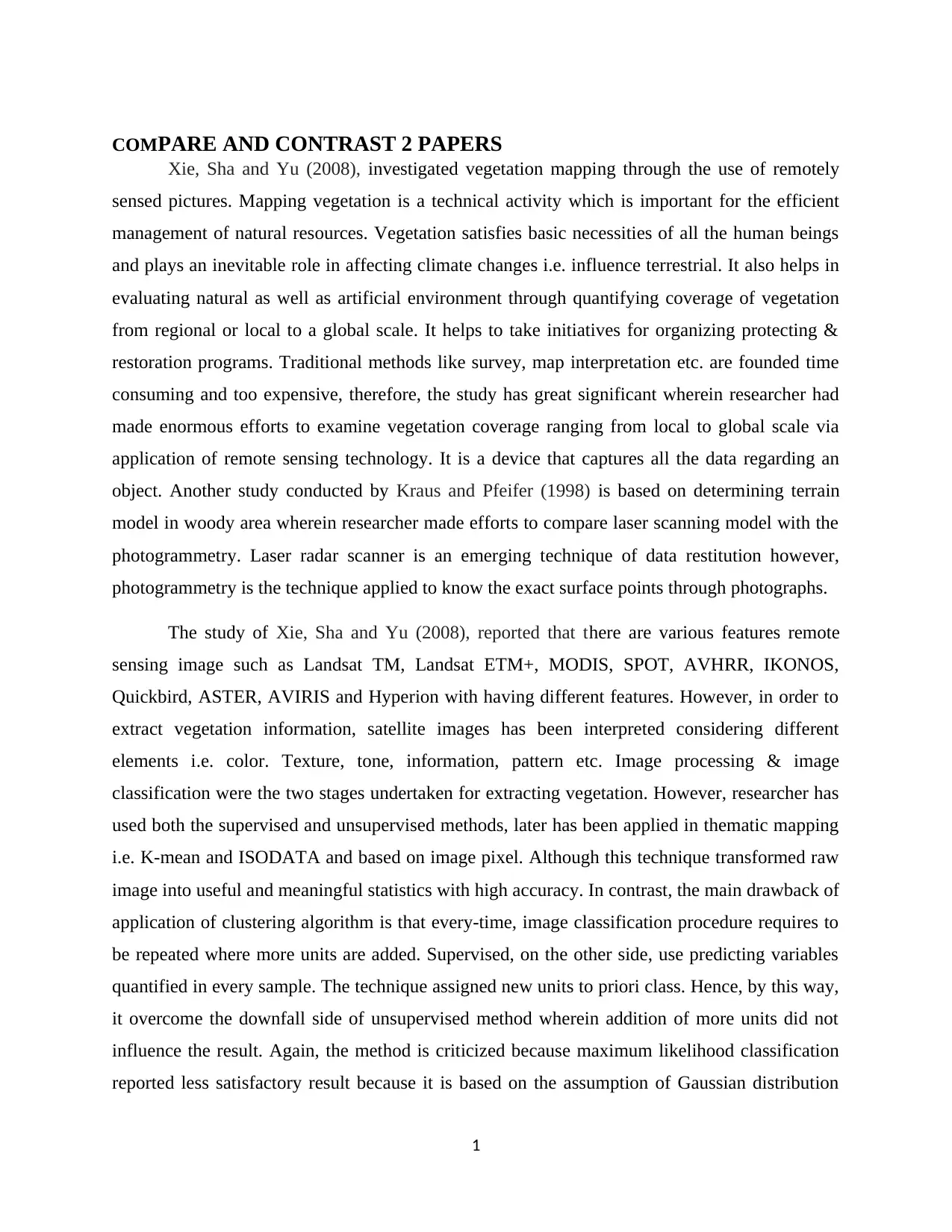
COMPARE AND CONTRAST 2 PAPERS
Xie, Sha and Yu (2008), investigated vegetation mapping through the use of remotely
sensed pictures. Mapping vegetation is a technical activity which is important for the efficient
management of natural resources. Vegetation satisfies basic necessities of all the human beings
and plays an inevitable role in affecting climate changes i.e. influence terrestrial. It also helps in
evaluating natural as well as artificial environment through quantifying coverage of vegetation
from regional or local to a global scale. It helps to take initiatives for organizing protecting &
restoration programs. Traditional methods like survey, map interpretation etc. are founded time
consuming and too expensive, therefore, the study has great significant wherein researcher had
made enormous efforts to examine vegetation coverage ranging from local to global scale via
application of remote sensing technology. It is a device that captures all the data regarding an
object. Another study conducted by Kraus and Pfeifer (1998) is based on determining terrain
model in woody area wherein researcher made efforts to compare laser scanning model with the
photogrammetry. Laser radar scanner is an emerging technique of data restitution however,
photogrammetry is the technique applied to know the exact surface points through photographs.
The study of Xie, Sha and Yu (2008), reported that there are various features remote
sensing image such as Landsat TM, Landsat ETM+, MODIS, SPOT, AVHRR, IKONOS,
Quickbird, ASTER, AVIRIS and Hyperion with having different features. However, in order to
extract vegetation information, satellite images has been interpreted considering different
elements i.e. color. Texture, tone, information, pattern etc. Image processing & image
classification were the two stages undertaken for extracting vegetation. However, researcher has
used both the supervised and unsupervised methods, later has been applied in thematic mapping
i.e. K-mean and ISODATA and based on image pixel. Although this technique transformed raw
image into useful and meaningful statistics with high accuracy. In contrast, the main drawback of
application of clustering algorithm is that every-time, image classification procedure requires to
be repeated where more units are added. Supervised, on the other side, use predicting variables
quantified in every sample. The technique assigned new units to priori class. Hence, by this way,
it overcome the downfall side of unsupervised method wherein addition of more units did not
influence the result. Again, the method is criticized because maximum likelihood classification
reported less satisfactory result because it is based on the assumption of Gaussian distribution
1
⊘ This is a preview!⊘
Do you want full access?
Subscribe today to unlock all pages.

Trusted by 1+ million students worldwide
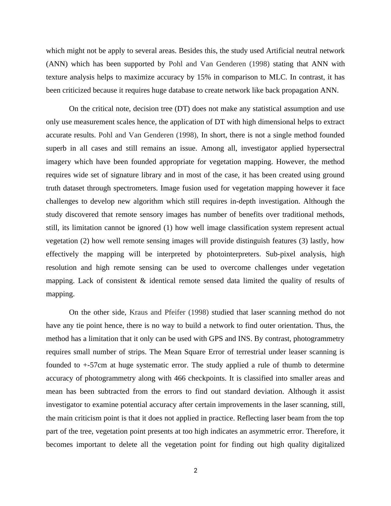
which might not be apply to several areas. Besides this, the study used Artificial neutral network
(ANN) which has been supported by Pohl and Van Genderen (1998) stating that ANN with
texture analysis helps to maximize accuracy by 15% in comparison to MLC. In contrast, it has
been criticized because it requires huge database to create network like back propagation ANN.
On the critical note, decision tree (DT) does not make any statistical assumption and use
only use measurement scales hence, the application of DT with high dimensional helps to extract
accurate results. Pohl and Van Genderen (1998), In short, there is not a single method founded
superb in all cases and still remains an issue. Among all, investigator applied hypersectral
imagery which have been founded appropriate for vegetation mapping. However, the method
requires wide set of signature library and in most of the case, it has been created using ground
truth dataset through spectrometers. Image fusion used for vegetation mapping however it face
challenges to develop new algorithm which still requires in-depth investigation. Although the
study discovered that remote sensory images has number of benefits over traditional methods,
still, its limitation cannot be ignored (1) how well image classification system represent actual
vegetation (2) how well remote sensing images will provide distinguish features (3) lastly, how
effectively the mapping will be interpreted by photointerpreters. Sub-pixel analysis, high
resolution and high remote sensing can be used to overcome challenges under vegetation
mapping. Lack of consistent & identical remote sensed data limited the quality of results of
mapping.
On the other side, Kraus and Pfeifer (1998) studied that laser scanning method do not
have any tie point hence, there is no way to build a network to find outer orientation. Thus, the
method has a limitation that it only can be used with GPS and INS. By contrast, photogrammetry
requires small number of strips. The Mean Square Error of terrestrial under leaser scanning is
founded to +-57cm at huge systematic error. The study applied a rule of thumb to determine
accuracy of photogrammetry along with 466 checkpoints. It is classified into smaller areas and
mean has been subtracted from the errors to find out standard deviation. Although it assist
investigator to examine potential accuracy after certain improvements in the laser scanning, still,
the main criticism point is that it does not applied in practice. Reflecting laser beam from the top
part of the tree, vegetation point presents at too high indicates an asymmetric error. Therefore, it
becomes important to delete all the vegetation point for finding out high quality digitalized
2
Paraphrase This Document
Need a fresh take? Get an instant paraphrase of this document with our AI Paraphraser
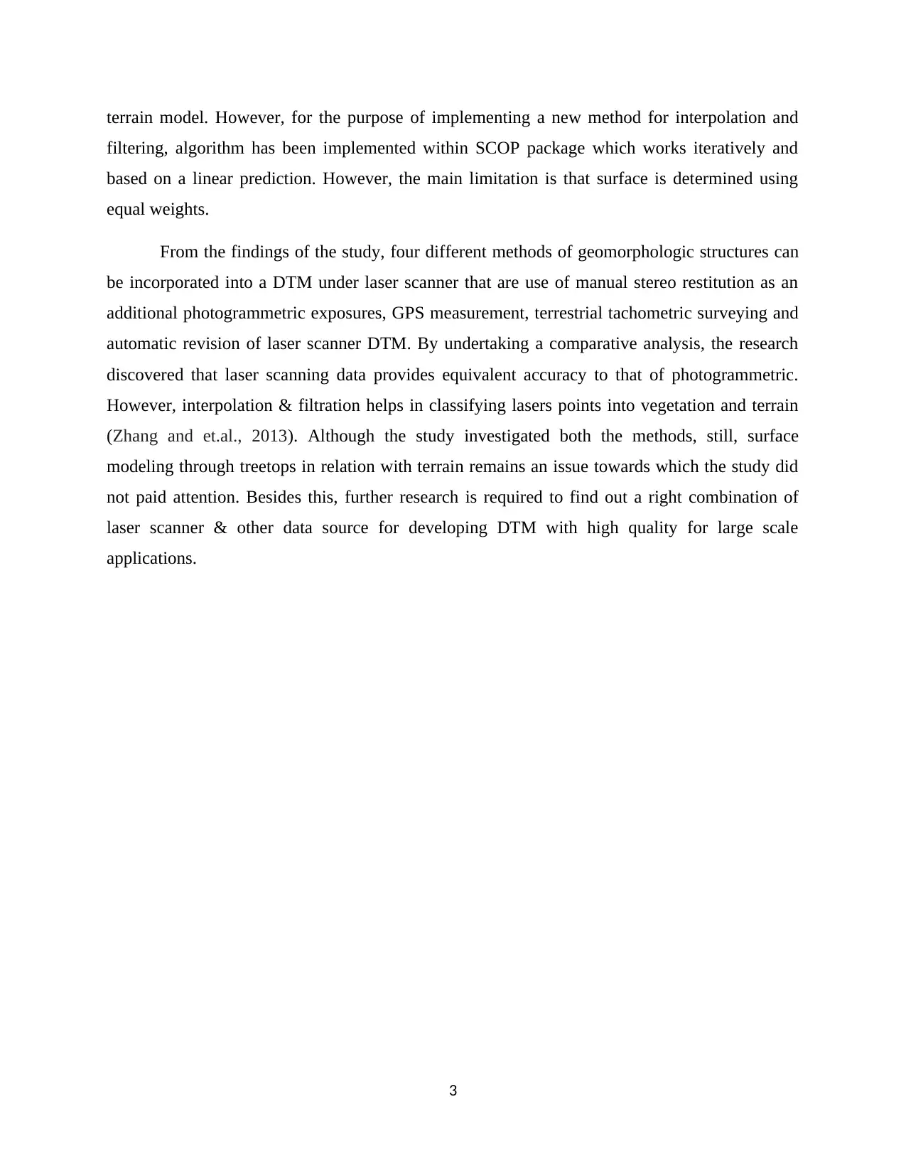
terrain model. However, for the purpose of implementing a new method for interpolation and
filtering, algorithm has been implemented within SCOP package which works iteratively and
based on a linear prediction. However, the main limitation is that surface is determined using
equal weights.
From the findings of the study, four different methods of geomorphologic structures can
be incorporated into a DTM under laser scanner that are use of manual stereo restitution as an
additional photogrammetric exposures, GPS measurement, terrestrial tachometric surveying and
automatic revision of laser scanner DTM. By undertaking a comparative analysis, the research
discovered that laser scanning data provides equivalent accuracy to that of photogrammetric.
However, interpolation & filtration helps in classifying lasers points into vegetation and terrain
(Zhang and et.al., 2013). Although the study investigated both the methods, still, surface
modeling through treetops in relation with terrain remains an issue towards which the study did
not paid attention. Besides this, further research is required to find out a right combination of
laser scanner & other data source for developing DTM with high quality for large scale
applications.
3
REFERENCES
Books and Journals
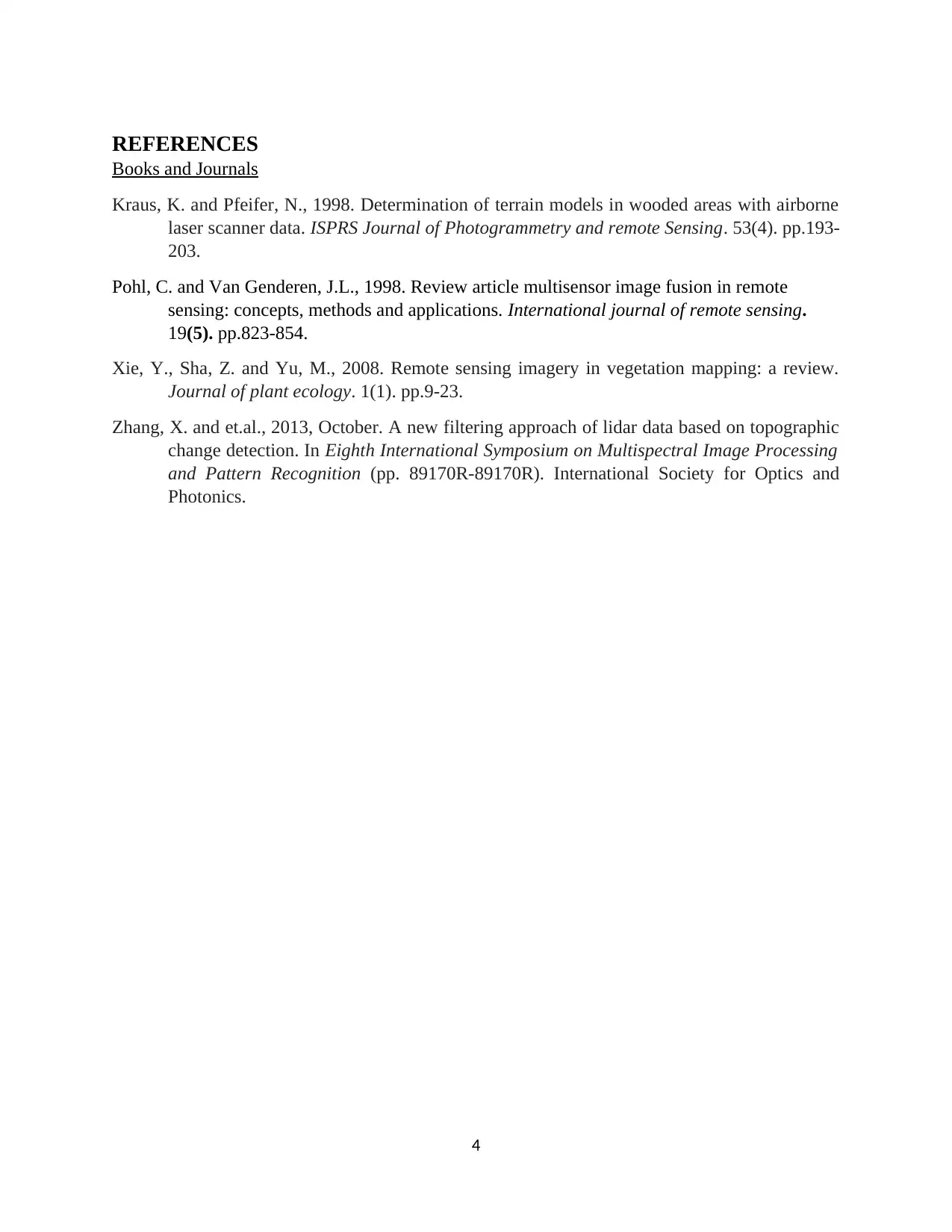
Kraus, K. and Pfeifer, N., 1998. Determination of terrain models in wooded areas with airborne
laser scanner data. ISPRS Journal of Photogrammetry and remote Sensing. 53(4). pp.193-
203.
Pohl, C. and Van Genderen, J.L., 1998. Review article multisensor image fusion in remote
sensing: concepts, methods and applications. International journal of remote sensing.
19(5). pp.823-854.
Xie, Y., Sha, Z. and Yu, M., 2008. Remote sensing imagery in vegetation mapping: a review.
Journal of plant ecology. 1(1). pp.9-23.
Zhang, X. and et.al., 2013, October. A new filtering approach of lidar data based on topographic
change detection. In Eighth International Symposium on Multispectral Image Processing
and Pattern Recognition (pp. 89170R-89170R). International Society for Optics and
Photonics.
4
⊘ This is a preview!⊘
Do you want full access?
Subscribe today to unlock all pages.

Trusted by 1+ million students worldwide
1 out of 6
Your All-in-One AI-Powered Toolkit for Academic Success.
+13062052269
info@desklib.com
Available 24*7 on WhatsApp / Email
![[object Object]](/_next/static/media/star-bottom.7253800d.svg)
Unlock your academic potential
Copyright © 2020–2026 A2Z Services. All Rights Reserved. Developed and managed by ZUCOL.