SIT101 Assignment: An In-Depth Analysis of Advances in GPS Systems

Verified

Added on  2023/06/09

|8
|1892
|144
Report
AI Summary
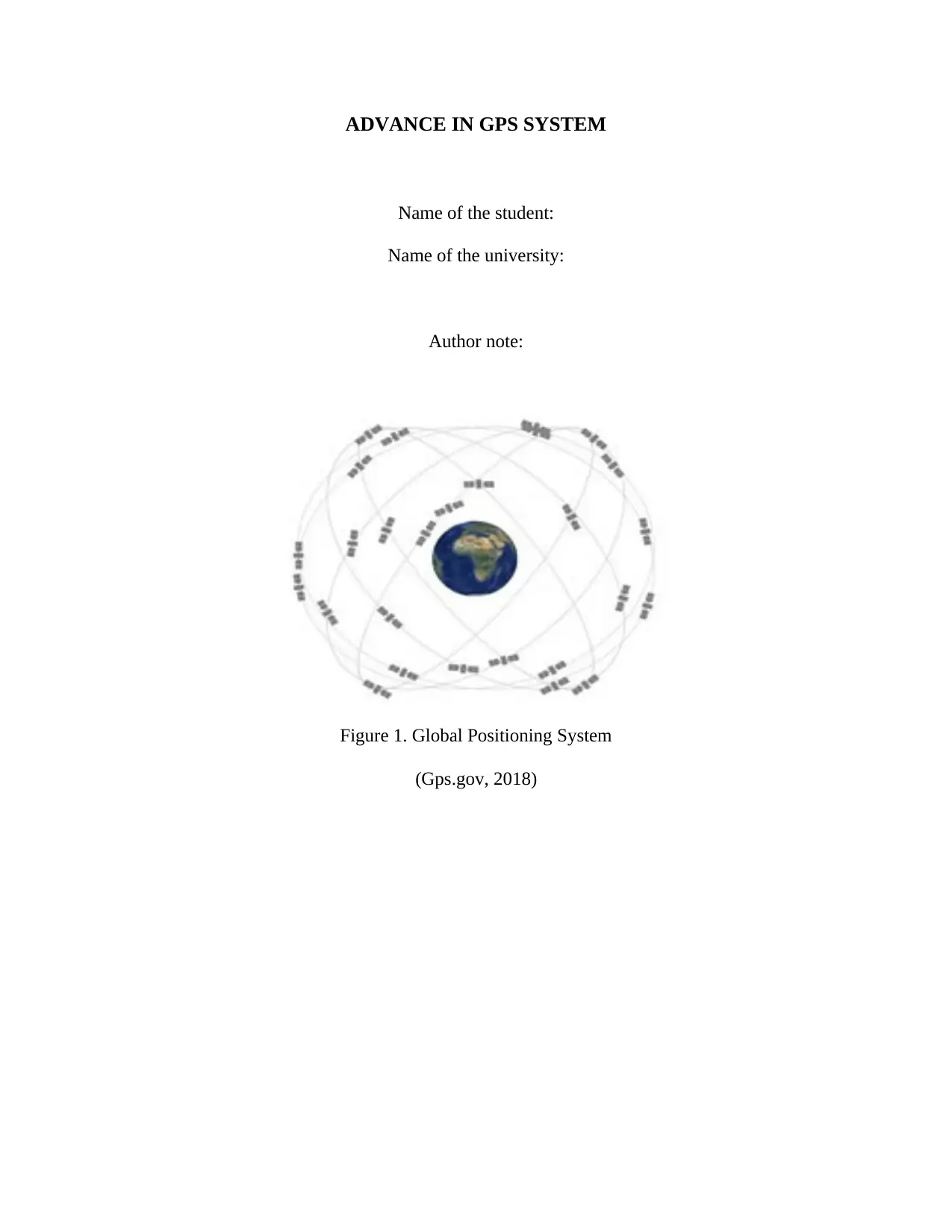
This report provides a detailed overview of the advancements in GPS (Global Positioning System) technology. It begins by explaining the working principle of GPS, which involves signal interception and trilateration using signals from multiple satellites to locate a receiver. The report discusses current applications such as mobile phone tracking and active car tracking systems, highlighting the use of real-time data for vehicle management and rescue operations. It also explores the future scope of GPS, including NASA's plans for advanced GPS receivers in space applications. The advantages of GPS, such as its global availability, lack of subscription fees, and self-calibration, are contrasted with its disadvantages, including signal interference, reliance on satellite longevity, and potential inaccuracies due to signal attenuation and battery dependence. The report concludes by summarizing the utility of GPS in tracking devices, its various applications, and the trade-offs between its benefits and drawbacks.
tabler-icon-diamond-filled.svg

Contribute Materials

Your contribution can guide someone’s learning journey. Share your documents today.
Document Page
ADVANCE IN GPS SYSTEM
Name of the student:
Name of the university:
Author note:
Figure 1. Global Positioning System
(Gps.gov, 2018)
tabler-icon-diamond-filled.svg

Secure Best Marks with AI Grader

Need help grading? Try our AI Grader for instant feedback on your assignments.
Document Page
1
Introduction:
This assignment mainly focuses on advance in GPS system. Previously tracking a device
was difficult however, with the advancement of technology and discovery of the GPS system,
tracing a device has become significantly easy (Salvemini, 2015). Nowadays mostly all
electronic devices like mobile phones has a GPS system installed in it. The signals that they
receive from the GPS satellites help them to calculate the distance from them and finally locate
their position on Earth. The system is advancing day by day and NASA is now planning to
replace all the geostationary satellites with GPS satellites. They find application in our daily life.
Most of the people now utilize the online booking service of cabs. They use GPS system to
locate position of the person who has booked the cab. The following paragraphs will describe in
details the working principle of the technology, the future scope followed by advantages and
disadvantages of the system.
GPS technology:
The GPS technology also known as the Global Positioning System is the result of
technology advancement that helps the system to locate a user, using a particular band of radio
frequency. The speed, location and time of the user can be traced with high level of accuracy. It
is mainly composed of a group of satellites revolving around the Earth owned by the United
States government. The U.S. Department of Defense first used the GPS system. It is also known
as NavStar because it is Global navigation satellite system. The whole system consists of mainly
three components: GPS satellite that sends signal to the receiver via space, the GPS receiver that
receives the signal and the complex computer software that helps to decode the data and locate
the receiver accurately.
Working Principle:
ADVANCE IN GPS SYSTEM
Document Page
2
Global Positioning System works on the principle of signal interception. For locating a
GPS receiver, the system utilizes at least four satellites at a time that sends information about its
position and time at regular intervals. These signals travelling at the speed of light are then
intercepted by the receiver that calculates the distance of each satellites depending on the time
taken by the signals to reach the receiver. Once the receiver has all these information, the GPS
system can track1 the location of the receiver.
Another method by which GPS works is trilateration. Suppose three satellites are
observing a GPS receiver on the Earth surface. If the distance from satellite A is known then the
user must be somewhere within the covering area of the satellite. The same method is applied to
other two satellites, satellite B and satellite C. From the intersection point of covering area of the
satellites, the user can be located accurately. The following diagram will explain trilateration
clearly.
The number of satellites that are observing a particular GPS receiver is directly
proportional to accuracy. More the number of satellites more is the accuracy. The GPS tracking
system has number of applications. One of the main application is the tracking of a cell phone.
How it is used now or will be used in the future
GPS tracking system for Mobile phones:
The tracking system for mobile phone utilizes the cell phone company that sends
processed data to the mobile phone. In the beginning, the cell phone company receives some
information from the cell phone with the help of cellular towers that can hear the cell phone, then
switches from cellular back to phone to receive raw information (Chang and Fang, 2014). The
phone then sends this raw data back to the phone company that processes the data and finally
sends the location to cell phone.
1 To follow the movements of a device in order to know the whereabouts of it
ADVANCE IN GPS SYSTEM
Document Page
3
Active car tracking system:
The GPS tracking system is nowadays used in active car tracking system. It is a type of
tracking system that gives real time data. The data is transferred through emails or fax that
reports the real-time location. This is significantly useful for organizations that want to manage
their vehicles and drivers to prevent theft and other malicious activities. It also finds application
in rescuing the vehicle in case of an accident, monitor the consumption of fuel, the speed of the
vehicle and distance that it covers in a particular time (Lee Tewolde and Kwon, 2014). For
example, in case of an accident, the concerned companies will be able to gain information on the
speed of the cars at which it was being driven.
Future scope of GPS:
GPS can be used for space applications in the future. NASA is planning to build
specialized GPS receivers that will help their tracking stations to track faster. It will help achieve
a number of future missions of geostationary satellites. The future GPS receivers that are being
developed by NASA are The Navigator receiver and the BlackJack. The future Global
Positioning system will be able to track the GPS receivers with more accuracy and reliability.
Advantages of the GPS system:
The advantages of GPS over the
existing technologies are as follows:
The Global Positioning System
makes use of satellites, therefore, the
signal is available anywhere on Earth
and the users can use the service all
the day round.
No charges are applied on the user to
subscribe for GPS service, as all the
cost is bearded by the US
government. The US defence
maintains and upgrades the system.
It does not require any manual
calibration as all the calibration is
ADVANCE IN GPS SYSTEM
tabler-icon-diamond-filled.svg

Secure Best Marks with AI Grader

Need help grading? Try our AI Grader for instant feedback on your assignments.
Document Page
4
done by itself, therefore, it becomes
easy for the user to use the system.
The system can be used in other
application like mapping the
location, which is extensively used
for cars, performance analysis used
in sports and so on.
One of the biggest advantage of GPS
is that it allows user to find a specific
location such as a nearby restaurant
or petrol pumps that falls within
specific meters of distance from the
current location.
The Global Positioning System can
also be used to give alerts for
weather and traffic (Arunvijay and
Yuvaraj, 2014). For example, during
adverse weather conditions or in case
of an accident, the GPS will provide
alert if a GPS system be installed in
the cell phone. They even provide an
alternate route along with the alerts.
However, it cannot be received on
time because this feature of GPS
does not provide real time data.
Disadvantages or potential
disadvantages:
The disadvantages are as follows:
The main disadvantage of GPS is the
use of signals for locating the
receiver. GPS makes use of the radio
frequencies that are prone to
interference. Due to this interference,
the signals might not give the
accurate information. The signals
can also be lost due to attenuation,
therefore, the information that is
provided might not be actual.
The system totally depends on
satellites to gain data. However,
satellites have longevities of about
30 years (CHOW-FRASER, 2014).
At the end of their lifecycle, they
ADVANCE IN GPS SYSTEM
Document Page
5
might not perform well. This can
cause disruption in function and the
information received from the
satellite might not be accurate.
The system trusts on batteries,
therefore, when the batteries get
drained out the system cannot
perform its work properly.
The cost of the system with a
number of features is costly and
therefore it becomes a major issue to
install them. However, systems with
less features do not perform
efficiently.
The signals coming from the GPS
system travel at the speed of light.
However, the path through which it
travels causes the speed of the signal
to slow down. Therefore, it causes
complications while correction.
Sometimes the signals coming from
the GPS satellites are bounced and
the receiver receives the bounced
signal.
Conclusion:
From the above discussions, it can be concluded that GPS system is useful in tracking all
GPS receivers. The system makes use of signal interception and trilateration to locate position of
device. The system has a number of application like tracking a mobile phone, active car tracking
system and so on. However, there are a number of advantages and disadvantages of the system.
No charges are applied on the subscriber however, the cost of the system with a number of
features is high.
ADVANCE IN GPS SYSTEM
Document Page
6
References:
Advancedinstalls.com.au. (2018). Advanced Installation Serice. [online] Available at:
http://www.advancedinstalls.com.au/GPS%20Tracking%20Systems.html [Accessed 6 Aug.
2018].
Arunvijay, D. and Yuvaraj, E., 2014. Design of Border Alert System for fishermen using
GPS. International Journal of Students' Research in Technology & Management, 2(2), pp.67-70.
Chang, D.C. and Fang, M.W., 2014. Bearing-only maneuvering mobile tracking with nonlinear
filtering algorithms in wireless sensor networks. IEEE Systems Journal, 8(1), pp.160-170.
CHOW-FRASER, R.J.C.P., 2014. Use of GPS loggers to enhance radio-tracking studies of semi-
aquatic freshwater turtles. Herpetological Conservation and Biology, 9(1), pp.18-28.
Elprocus.com. (2018). [online] Available at:
https://www.elprocus.com/wp-content/uploads/2013/07/GPS-Circuit.png [Accessed 6 Aug.
2018].
Gpsintegrated.com. (2018). Mobile Phone(Smartphone) Tracking | GPS Integrated - GPS
Tracking & Fleet management. [online] Available at: https://www.gpsintegrated.com/products-
3/mobilephonesmartphonetracking [Accessed 6 Aug. 2018].
Lee, S., Tewolde, G. and Kwon, J., 2014, March. Design and implementation of vehicle tracking
system using GPS/GSM/GPRS technology and smartphone application. In Internet of Things
(WF-IoT), 2014 IEEE World Forum on (pp. 353-358). IEEE.
NASA. (2018). Global Positioning System History. [online] Available at:
https://www.nasa.gov/directorates/heo/scan/communications/policy/GPS_History.html
[Accessed 6 Aug. 2018].
ADVANCE IN GPS SYSTEM
tabler-icon-diamond-filled.svg

Paraphrase This Document

Need a fresh take? Get an instant paraphrase of this document with our AI Paraphraser
Document Page
7
Salvemini, M., 2015. Global positioning system. International Encyclopedia of the Social &
Behavioral Sciences, pp.174-177.
Gps.gov. (2018). GPS.gov: Image Library. [online] Available at:
https://www.gps.gov/multimedia/images/ [Accessed 8 Aug. 2018].
ADVANCE IN GPS SYSTEM
chevron_up_icon
1 out of 8
circle_padding
hide_on_mobile
zoom_out_icon
logo.png

Your All-in-One AI-Powered Toolkit for Academic Success.

Available 24*7 on WhatsApp / Email

[object Object]