Foundation Engineering: Failure Investigations of Hydroelectric Dams
VerifiedAdded on 2022/12/27
|19
|2993
|77
Report
AI Summary
This report provides a comprehensive analysis of the St. Francis Dam in California and the Vajont Dam in Italy, both of which experienced catastrophic failures. The report begins with an introduction, followed by detailed examinations of each dam, including their histories, construction details, and the events leading up to their failures. For the St. Francis Dam, the report highlights the faulty foundation, lack of peer review, and inadequate design considerations. The Vajont Dam analysis focuses on the geological instability of the site, the failure to heed warnings, and the rapid landslide that caused the dam's collapse. The report includes timelines, figures, and post-failure analyses, including the repercussions and lessons learned from each disaster. It emphasizes the importance of thorough geotechnical investigations, peer reviews, and the need to prioritize safety in dam design and construction. The report concludes by summarizing the key takeaways and the impact of these failures on dam engineering practices and regulations.
Foundation engineering 1
FAILURE INVESTIGATIONS OF HYDROELECTRIC DAMS
Author’s Name1
1City, Country
University Name, City, Country
email address
Table of Conten
t
1.0 INTRODUCTION................................................................................................................3
2.0 ST. FRANCIS DAM, USA.............................................................................................3
2.1 History of the dam an investigation failures....................................................................4
2.1.1 Timeline table............................................................................................................4
2.1.2 Figures showing the dams google maps location......................................................5
2.2 POST-FAILURE ANALYSIS...................................................................................6
3.0 REPERCUSSIONS OF ST. FRANCIS DAM FAILURE......................................9
4.0 VAJONT DAM, ITALY..............................................................................................10
4.1 History and the investigation of the dam.......................................................................11
4.1.1 Timeline Table........................................................................................................11
4.1.2 Figures.....................................................................................................................12
4.1.3 Investigations..........................................................................................................14
5.0 POST-FAILURE ANALYSIS.................................................................................16
5.1.1 Analysis Figures......................................................................................................18
Paraphrase This Document
Need a fresh take? Get an instant paraphrase of this document with our AI Paraphraser

Foundation engineering 2
6.0 LESSONS FROM VAJONT DAM FAILURE......................................................22
7.0 REFERENCES.................................................................................................................24
6.0 LESSONS FROM VAJONT DAM FAILURE......................................................22
7.0 REFERENCES.................................................................................................................24
Foundation engineering 3
1.0 INTRODUCTION
This report shall focus on the
failures of two large concrete dams St.
Francis Dam, California and the Vajont
Dam, Italy. Both dam failures were
landmark catastrophes that had many
casualties and spearheaded major changes
in dam design and engineering.
Name Height
(m)
Type Country Year of
construction
Date of
failure
Fatalities
St.
Francis
Dam
62.5 Curved concrete
gravity
California,
USA
May 1926 March
12, 1928
430+
Vajont
Dam
262 Double-curved
thin arch
masonry/concrete
Italy 1957- 1960 October
9, 1963
2000+
Table 1. Dam failures studied in this report
Keywords: Double-curved concrete dam,
dam failure, peer assessment, post-failure
investigations, rock formation
2.0 ST. FRANCIS DAM, USA
St. Francis Dam was a curved
concrete gravity dam constructed in
California in 1926. The dam was 62.5 m
high and the face of the dam had steps.
Initially, the dam was completed in 1924.
However, the water supply requirements of
Los Angeles were later re-examined and
thus 3m of height were added to the dam
structure in 1925. Concreting works for the
increased height took 11 months, after
which an additional 3 m of height was
⊘ This is a preview!⊘
Do you want full access?
Subscribe today to unlock all pages.
Trusted by 1+ million students worldwide
Foundation engineering 4
added, with no change to the base width.
St. Francis Dam had no inspection
galleries, no pressure grouting at the
foundations, no vertical contraction joints
and the drains were located only under the
centre section.
2.1 History of the dam an investigation
failures
2.1.1 Timeline table
Timelines
Construction
commenced
1924
Commissioning 1926
Dam failure 1928
Demolition 1929
Dams and spillways
Impounds Los Angeles
Aqueduct, San
Francisquito Creek
Dam structure
height
56 m
Foundation height 62 m
Length Main dam 210 m
Wing dike 179 m
Elevation at crest Parapet 560 m
Spillway 559 m
Width at crest 4.9 m
Width at base 52 m
Parapet width 4.9 m
Hydraulic head 55 m
Volume Main dam – 99,733
m3
Wing dike – 2,923
m3
Spillway type Uncontrolled
overflow
Lake
Capacity 47.10 x10⁶ m3
Catchment area 97 km2
Maximum length 4.8 km
Maximum water
depth
55 m
Table 2. Details of St. Francis Dam
Paraphrase This Document
Need a fresh take? Get an instant paraphrase of this document with our AI Paraphraser
Foundation engineering 5
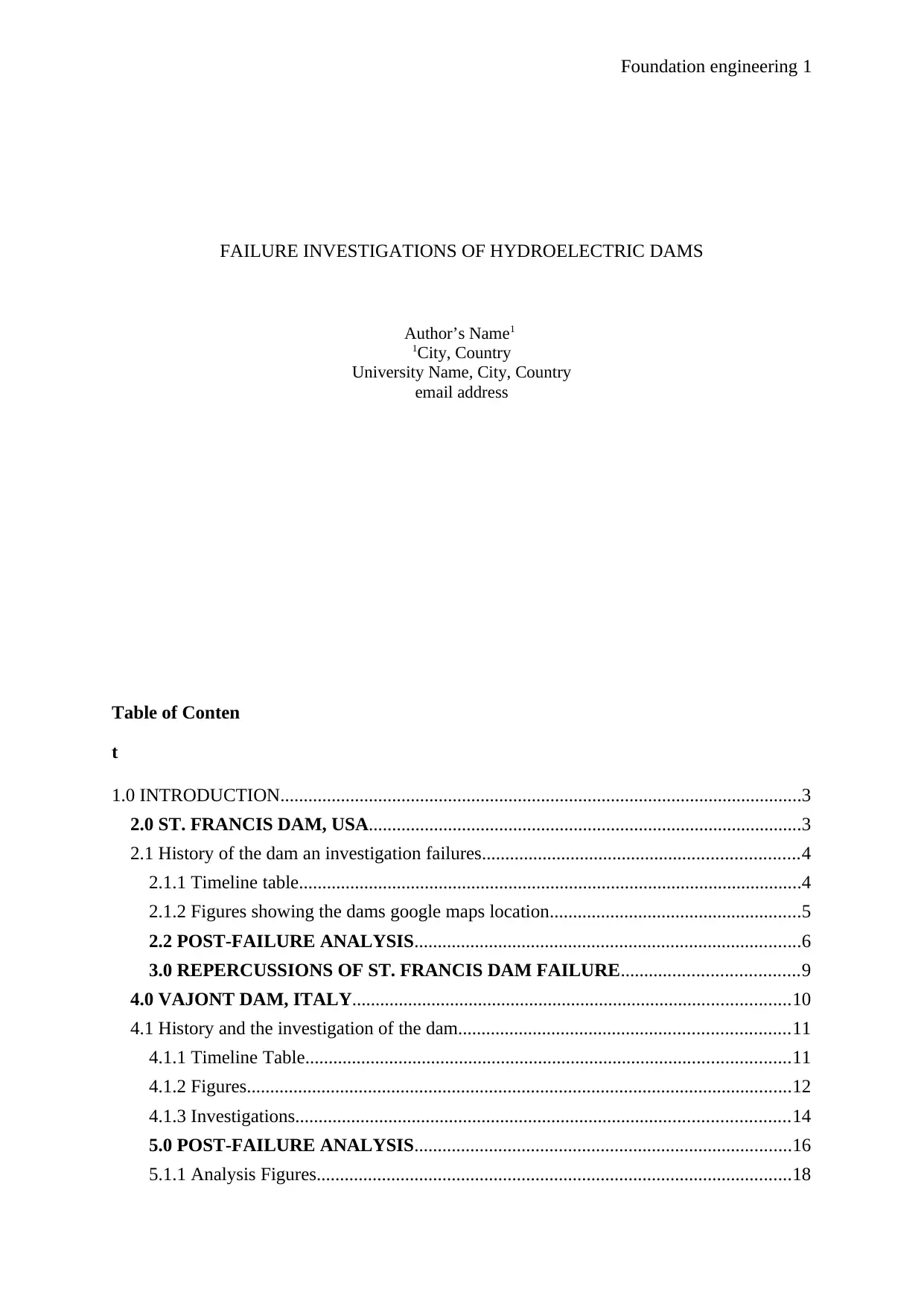
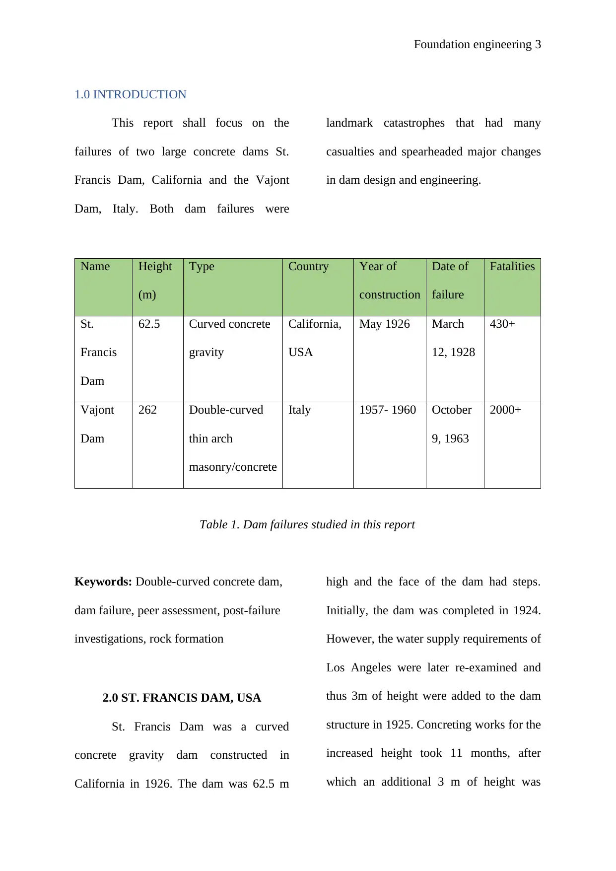
2.1.2 Figures showing the dams google
maps location
Fig 1. Estimated extent of the reservoir
Source: Google maps
Fig 2. Location of St. Francis Dam
Source: Google maps
The foundations of the dam had
two rock types; fairly uniform schists on
the left abutment and the canyon floor and
Sespe Formation (a red conglomerate) in
the upper right side of the foundations. The
presence of the two rock types beneath the
foundation was due to the San Francesco
fault on that area. However, the dam was
constructed atop the fault with full
knowledge of the design and engineering
team.
2.2 POST-FAILURE ANALYSIS
St. Francis Dam failed in March
12, 1928, almost midnight with no citing
of unusual weather or seismic activity.
However, downstream cracks on the dam
were first cited on March 1926 during
reservoir filling and were dismissed as
concrete cooling cracks. Later on, in
February 1928, leaks were spotted on the
right abutment, along the fault and the
Foundation engineering 6
Sespe formation. Large tension cracks
were spotted along the left abutment on
March 10, 1928, after which the dam
failed completely, the reservoir emptied
and over 480 lives lost within the hour
(Dickson & Loar, 2011).
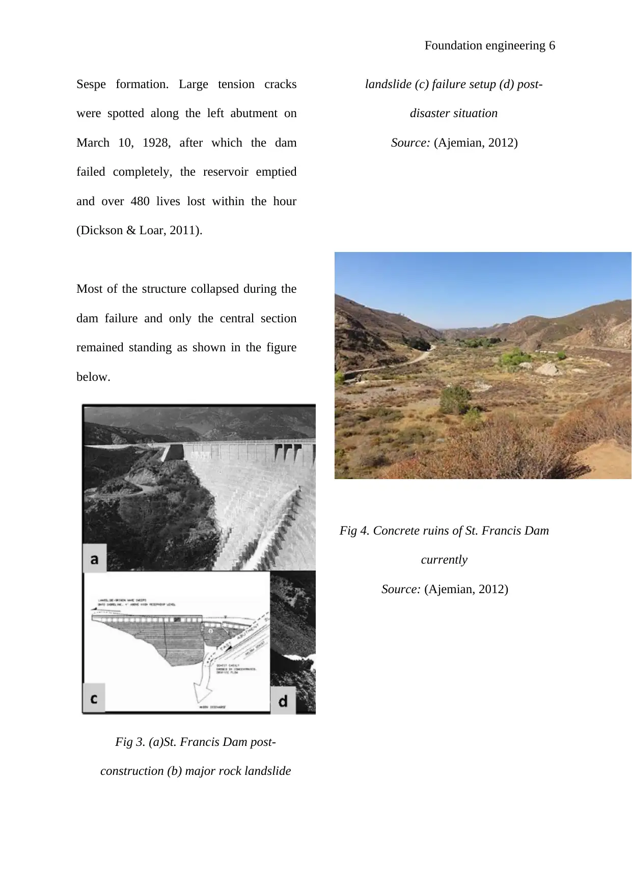
Most of the structure collapsed during the
dam failure and only the central section
remained standing as shown in the figure
below.
Fig 3. (a)St. Francis Dam post-
construction (b) major rock landslide
landslide (c) failure setup (d) post-
disaster situation
Source: (Ajemian, 2012)
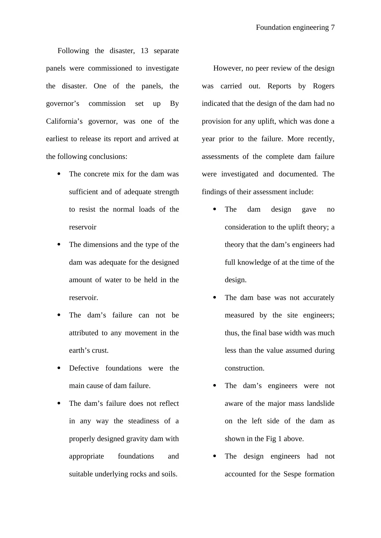
Fig 4. Concrete ruins of St. Francis Dam
currently
Source: (Ajemian, 2012)
Sespe formation. Large tension cracks
were spotted along the left abutment on
March 10, 1928, after which the dam
failed completely, the reservoir emptied
and over 480 lives lost within the hour
(Dickson & Loar, 2011).
Most of the structure collapsed during the
dam failure and only the central section
remained standing as shown in the figure
below.
Fig 3. (a)St. Francis Dam post-
construction (b) major rock landslide
landslide (c) failure setup (d) post-
disaster situation
Source: (Ajemian, 2012)
Fig 4. Concrete ruins of St. Francis Dam
currently
Source: (Ajemian, 2012)
⊘ This is a preview!⊘
Do you want full access?
Subscribe today to unlock all pages.
Trusted by 1+ million students worldwide
Foundation engineering 7
Following the disaster, 13 separate
panels were commissioned to investigate
the disaster. One of the panels, the
governor’s commission set up By
California’s governor, was one of the
earliest to release its report and arrived at
the following conclusions:
The concrete mix for the dam was
sufficient and of adequate strength
to resist the normal loads of the
reservoir
The dimensions and the type of the
dam was adequate for the designed
amount of water to be held in the
reservoir.
The dam’s failure can not be
attributed to any movement in the
earth’s crust.
Defective foundations were the
main cause of dam failure.
The dam’s failure does not reflect
in any way the steadiness of a
properly designed gravity dam with
appropriate foundations and
suitable underlying rocks and soils.
However, no peer review of the design
was carried out. Reports by Rogers
indicated that the design of the dam had no
provision for any uplift, which was done a
year prior to the failure. More recently,
assessments of the complete dam failure
were investigated and documented. The
findings of their assessment include:
The dam design gave no
consideration to the uplift theory; a
theory that the dam’s engineers had
full knowledge of at the time of the
design.
The dam base was not accurately
measured by the site engineers;
thus, the final base width was much
less than the value assumed during
construction.
The dam’s engineers were not
aware of the major mass landslide
on the left side of the dam as
shown in the Fig 1 above.
The design engineers had not
accounted for the Sespe formation
Paraphrase This Document
Need a fresh take? Get an instant paraphrase of this document with our AI Paraphraser
Foundation engineering 8
in their location and designs for the
foundations. Thus, they had no
impression that the conglomerate
of soils would slake when
submerged in the reservoir’s
waters.
The most probable cause for the
dam’s failure was the renaissance
of over 350,000m3 of paleo-slide
rocks and soils. Ground pressure
developed under the left façade of
the dam as the reservoir was being
filled which caused paleo-slide
movements. As the movements
increased, the dam became more
unstable; and the resulting loads
acted obliquely on the dam, which
allowed water to flow along the
base of the dam increasing the total
ground pressure.
3.0 REPERCUSSIONS OF ST.
FRANCIS DAM FAILURE
The failure of St. Francis Dam was one of
the most fatal dam failures in its century.
The following are the consequences of the
dam failure:
The national government was
granted full authority over all
operations of all non-federal dams.
Similar to other large dams, St.
Francis Dam was under the
municipal government. After the
failure, the Division of Safety of
Dams was created to operate under
the national government. The
division would oversee all dams
that had heights of over 25 feet and
held over 50 acre-feet of water.
The Registration Board for Civil
Engineers was created in 1929 to
authorize, regulate and discipline
all engineers. Prior to the failure,
professionals in the construction
industry were largely unregulated.
The board is now referred to as the
Board for Professional Engineers,
Land Surveyors and Geologists.
St. Francis Dam Disaster National
memorial and National monument
Foundation engineering 9
were set up to honour the victims
of the disaster. These were
established by the Conservation,
Management and Recreation Act in
March 2019. The responsibilities of
the memorial include
commemorating the collapse of the
dam, preservation of the over 300
acres of land for recreations and
forestry.
Thorough geo-technical
investigations have become a
necessary process before design
and during the entire construction
process.
4.0 VAJONT DAM, ITALY
Vajont Dam (also referred to as
Vaiont Dam) is a double curvature thin
arch dam, measuring upto 276m in height.
Its construction lasted for three years from
1957 to 1960. It is located along the
Vajont River, in the northern Alps. It was
built by SADE, an organization in charge
of distribution and supply of electricity.
After its completion, Vajont Dam was
recognized as one of the tallest dams in the
world. The dam was constructed to control
flooding along the Piave and Mae rivers,
and generate electricity to satisfy the
increasing demand due to industrialization
(Superchi, et al., 2010).
4.1 History and the investigation of the
dam
4.1.1 Timeline Table
Timelines
Construction
commenced
1957
Commissioning 1960
Dam failure 1963
Reconstruction
Dams and spillways
Height 262 m
Length 160 m
Width at base 27 m
Reservoir
Volume 360,000 m3
Capacity 168.715 x 10⁶ m3
Lake Lago del Vajont
⊘ This is a preview!⊘
Do you want full access?
Subscribe today to unlock all pages.
Trusted by 1+ million students worldwide
Foundation engineering 10
Table 3. Details of Vajont Dam
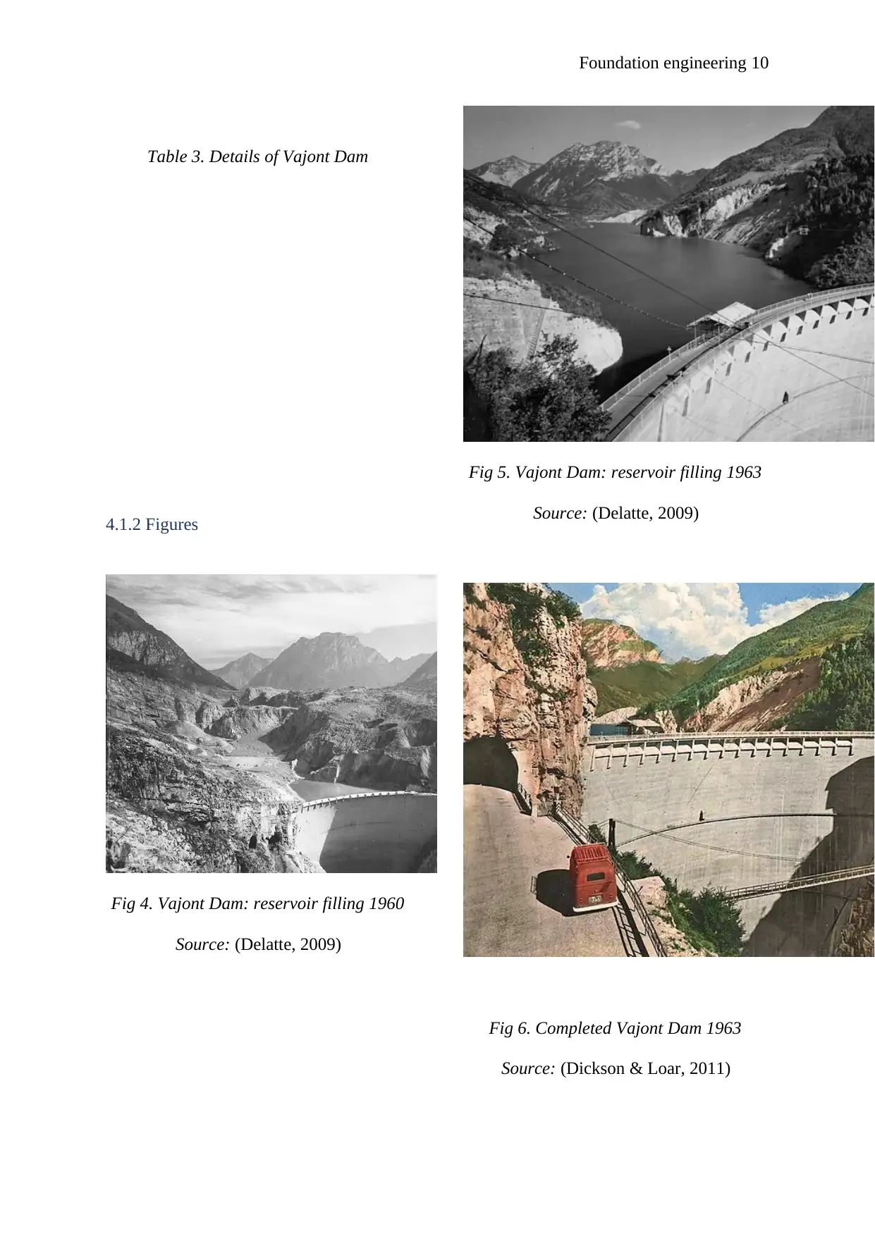
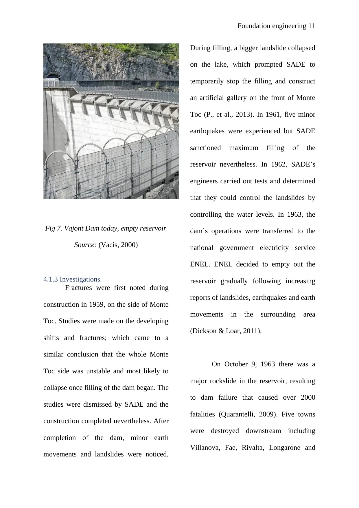
4.1.2 Figures
Fig 4. Vajont Dam: reservoir filling 1960
Source: (Delatte, 2009)
Fig 5. Vajont Dam: reservoir filling 1963
Source: (Delatte, 2009)
Fig 6. Completed Vajont Dam 1963
Source: (Dickson & Loar, 2011)
Table 3. Details of Vajont Dam
4.1.2 Figures
Fig 4. Vajont Dam: reservoir filling 1960
Source: (Delatte, 2009)
Fig 5. Vajont Dam: reservoir filling 1963
Source: (Delatte, 2009)
Fig 6. Completed Vajont Dam 1963
Source: (Dickson & Loar, 2011)
Paraphrase This Document
Need a fresh take? Get an instant paraphrase of this document with our AI Paraphraser
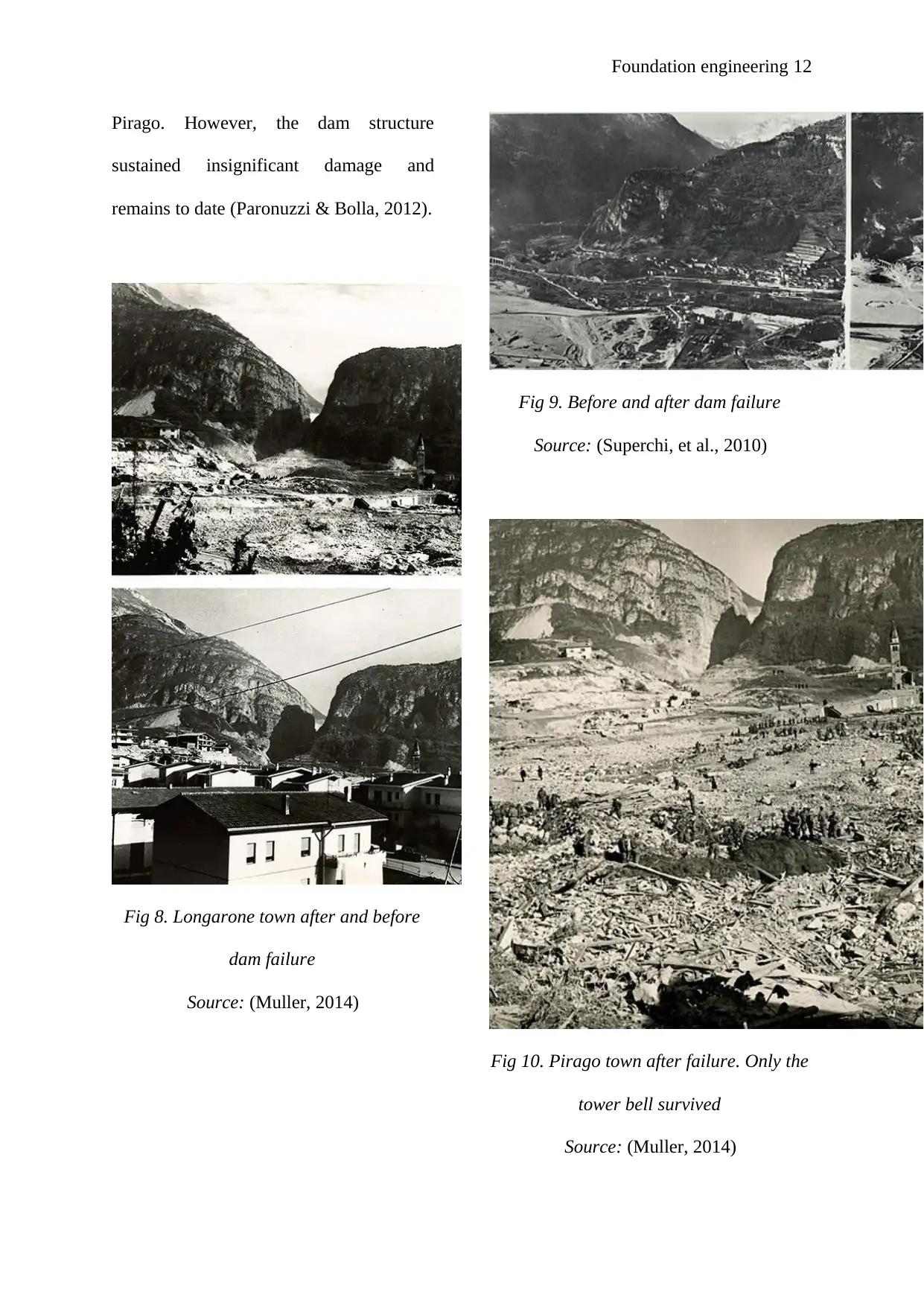
Foundation engineering 11
Fig 7. Vajont Dam today, empty reservoir
Source: (Vacis, 2000)
4.1.3 Investigations
Fractures were first noted during
construction in 1959, on the side of Monte
Toc. Studies were made on the developing
shifts and fractures; which came to a
similar conclusion that the whole Monte
Toc side was unstable and most likely to
collapse once filling of the dam began. The
studies were dismissed by SADE and the
construction completed nevertheless. After
completion of the dam, minor earth
movements and landslides were noticed.
During filling, a bigger landslide collapsed
on the lake, which prompted SADE to
temporarily stop the filling and construct
an artificial gallery on the front of Monte
Toc (P., et al., 2013). In 1961, five minor
earthquakes were experienced but SADE
sanctioned maximum filling of the
reservoir nevertheless. In 1962, SADE’s
engineers carried out tests and determined
that they could control the landslides by
controlling the water levels. In 1963, the
dam’s operations were transferred to the
national government electricity service
ENEL. ENEL decided to empty out the
reservoir gradually following increasing
reports of landslides, earthquakes and earth
movements in the surrounding area
(Dickson & Loar, 2011).
On October 9, 1963 there was a
major rockslide in the reservoir, resulting
to dam failure that caused over 2000
fatalities (Quarantelli, 2009). Five towns
were destroyed downstream including
Villanova, Fae, Rivalta, Longarone and
Foundation engineering 12
Pirago. However, the dam structure
sustained insignificant damage and
remains to date (Paronuzzi & Bolla, 2012).
Fig 8. Longarone town after and before
dam failure
Source: (Muller, 2014)
Fig 9. Before and after dam failure
Source: (Superchi, et al., 2010)
Fig 10. Pirago town after failure. Only the
tower bell survived
Source: (Muller, 2014)
⊘ This is a preview!⊘
Do you want full access?
Subscribe today to unlock all pages.
Trusted by 1+ million students worldwide
1 out of 19
Your All-in-One AI-Powered Toolkit for Academic Success.
+13062052269
info@desklib.com
Available 24*7 on WhatsApp / Email
![[object Object]](/_next/static/media/star-bottom.7253800d.svg)
Unlock your academic potential
Copyright © 2020–2026 A2Z Services. All Rights Reserved. Developed and managed by ZUCOL.