Construction & Development
Prepare a Highest and Best Use analysis for a given site, including text, graphics, and statistics.
15 Pages2174 Words460 Views
Added on 2022-11-24
About This Document
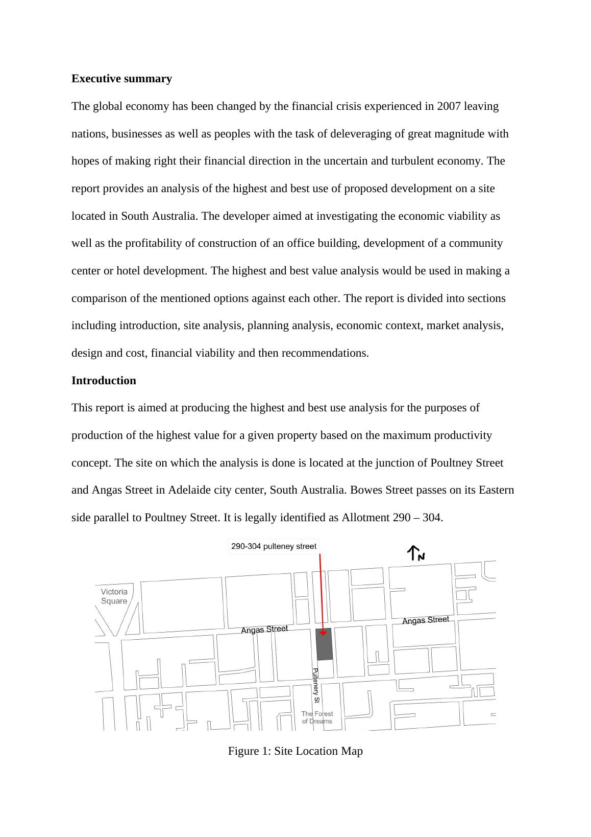
The report provides an analysis of the highest and best use of proposed development on a site located in South Australia. The developer aimed at investigating the economic viability as well as the profitability of construction of an office building, development of a community center or hotel development. The highest and best value analysis would be used in making a comparison of the mentioned options against each other.
Construction & Development
Prepare a Highest and Best Use analysis for a given site, including text, graphics, and statistics.
Added on 2022-11-24
ShareRelated Documents
End of preview
Want to access all the pages? Upload your documents or become a member.
Site Analysis Report
|11
|1643
|40
Neighbourhood Life Cycle - PDF
|14
|2116
|224
A Site for the Study of a Property Development Project
|18
|3048
|8
Assessment of a Proposed Development
|17
|3621
|1
The Local And The Global (Kensington Market)
|14
|1434
|16
Circular Quay Assignment pdf
|7
|908
|148