GIS and Environmental Management.
Added on 2022-08-10
12 Pages2075 Words36 Views
GIS and Environmental Management

Introduction:-
GIS is a tool that is used to promote and manage the environmental sustainability for
waste management. For natural disaster, DWMS (Disaster Waste Management Sites) plays an
essential role in the land analysis problem. This review is related to promote the use of GIS to
maintain a more sustainable future. In this study, ‘ArcGIS’ is used for land analysis and Model
builder functions are used to build the analysis model(Cheng and Thompson, 2016).In this
workflow BIM and GIS, integration increases the efficiency of sustainable management. BIM
(Building Information Modeling) is a process based on the 3D model that provides AEC
(Architecture, Engineering and Construction) professionals information and is a tool of efficient
design, plan, structures, manage buildings and construction. AEC industry now focuses more on
the BIM that is information-rich approach. It provides a robust model that captures the project
detail that may include graphics. This model also provides the simulation that shows after
construction how asset behaves in the real world
Discussion:-
The GIS system is a set of a powerful tool for transforming, collecting, displaying, spatial
data analyses and retrieving data for a specific purpose in the real world. Spatial data gives
information about the shapes of geography and location, i.e. stored as the topology and
coordinates. The spatial data format can be in vector form and raster form. Vector form is a
coordinate-based data model represent the geography feature is in the way of lines, points and
polygons. In Raster, the form information represents in the form of a cell (rows and columns).
FIG 1. Vector data format
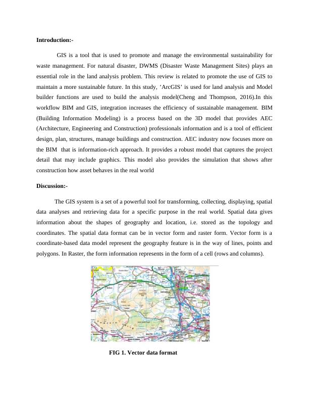
FIG.2 Spatial data Format
The GIS system is used for environmental planning and data analysis. For a critical
ecological condition, it allows viewing and physical feature understanding. Geographic
Information System (GIS) also analyze and display the aerial photographs that give quick
reviews of the hazards and high-risk areas. After the data analysis, GIS can help in managing and
planning of the environmental risks. Geographic Information System activities support in
monitoring, mitigation, environmental assessment, and these have used for generating ecological
models (Paul, 2018). GIS is an aid for hazard mitigation, disaster management, managing natural
resources, wastewater management, air pollution and control.
According to me GIS very efficient tool in 21st century and for coming years because it
mapping and monitoring the site of the where impact of the disaster is at peak. It is only tool give
quick response for recovery of site.
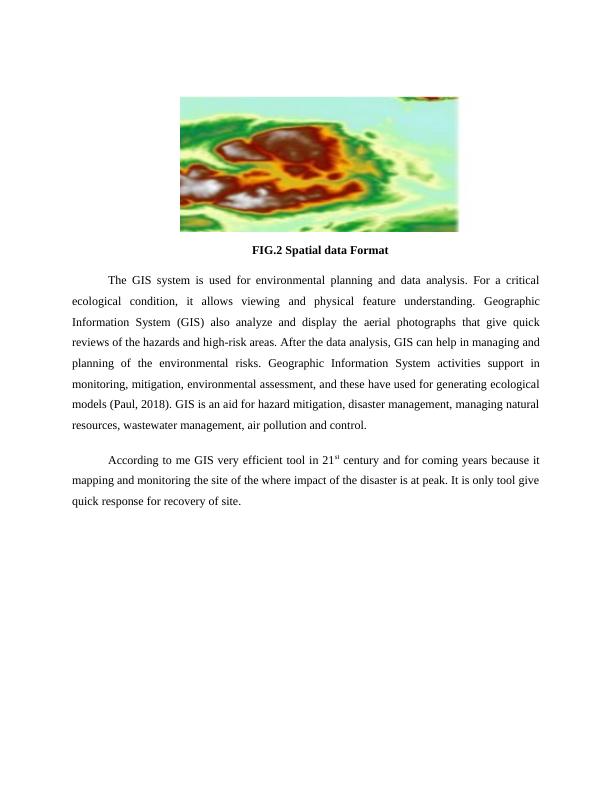
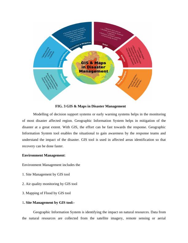
FIG. 3 GIS & Maps in Disaster Management
Modelling of decision support systems or early warning systems helps in the monitoring
of most disaster affected region. Geographic Information System helps in mitigation of the
disaster at a great extent. With GIS, the effort can be fast towards the response. Geographic
Information System tool enables the situational to gain awareness by the response teams and
understand the impact of the disaster. GIS tool is used in affected areas identification so that
recovery can be done faster.
Environment Management:
Environment Management includes the
1. Site Management by GIS tool
2. Air quality monitoring by GIS tool
3. Mapping of Flood by GIS tool
1. Site Management by GIS tool:-
Geographic Information System is identifying the impact on natural resources. Data from
the natural resources are collected from the satellite imagery, remote sensing or aerial
End of preview
Want to access all the pages? Upload your documents or become a member.
Related Documents
GIS Environmental Management | Assignmentlg...
|14
|1428
|17
Incheon International Airport Integrated Spatial Management System Issue 2022lg...
|6
|3360
|37
Water Quality Analysis 2022lg...
|12
|2505
|57