GIS Homework Review
VerifiedAdded on 2019/09/18
|3
|1060
|469
Homework Assignment
AI Summary
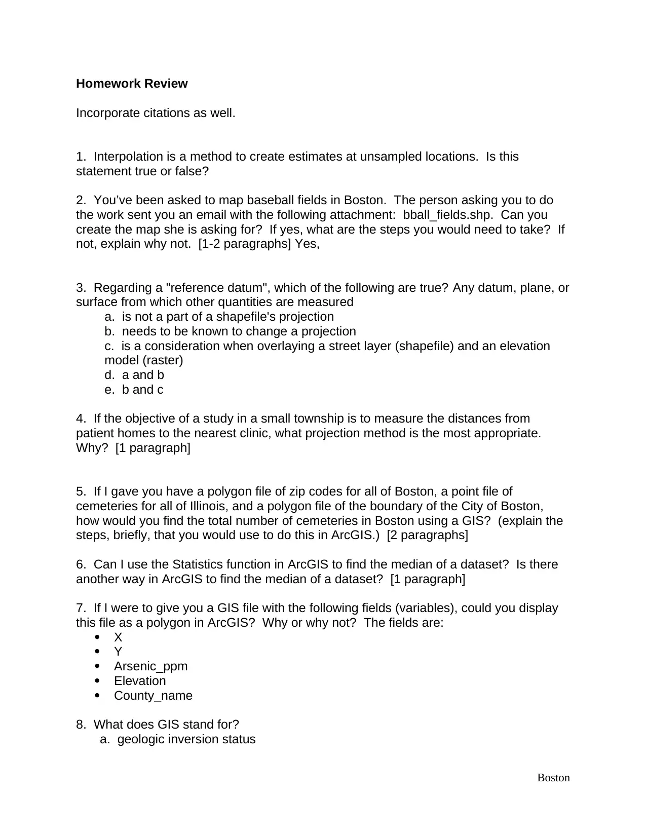
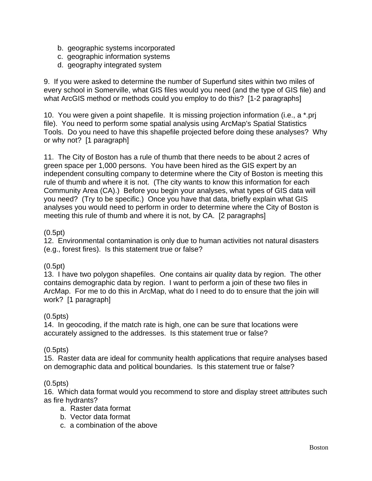
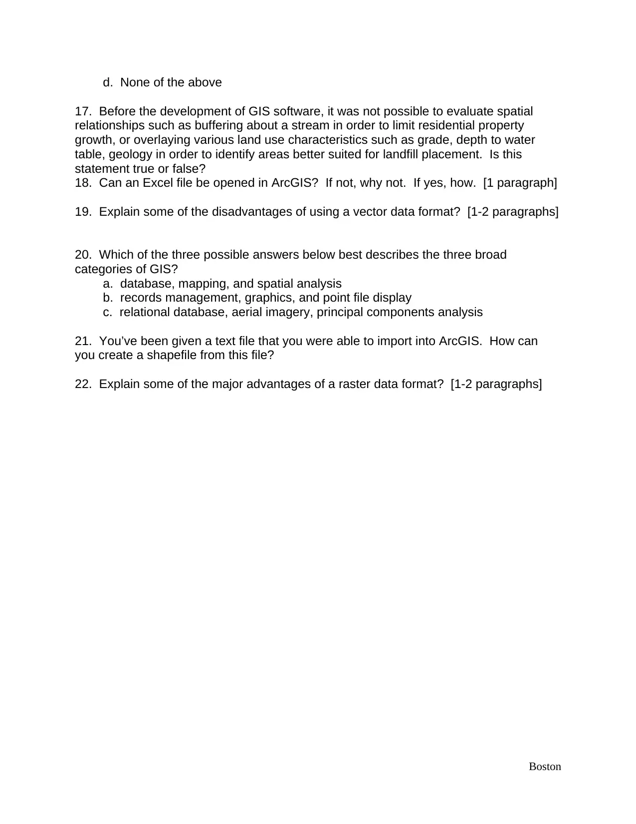
This homework assignment focuses on various aspects of Geographic Information Systems (GIS). It covers topics such as interpolation methods, map creation using shapefiles, understanding reference datums and projections, appropriate projection methods for distance measurements, spatial analysis techniques using ArcGIS (including finding medians and performing joins), data formats (vector and raster), geocoding, and the advantages and disadvantages of each data format. The assignment also includes true/false questions testing understanding of environmental contamination and data suitability for specific applications. Students are asked to explain GIS functionalities, describe necessary data for specific analyses (e.g., determining green space per capita), and solve problems involving data manipulation and analysis within ArcGIS. The assignment emphasizes practical application of GIS concepts and tools.
1 out of 3


![[object Object]](/_next/static/media/star-bottom.7253800d.svg)